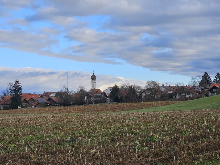
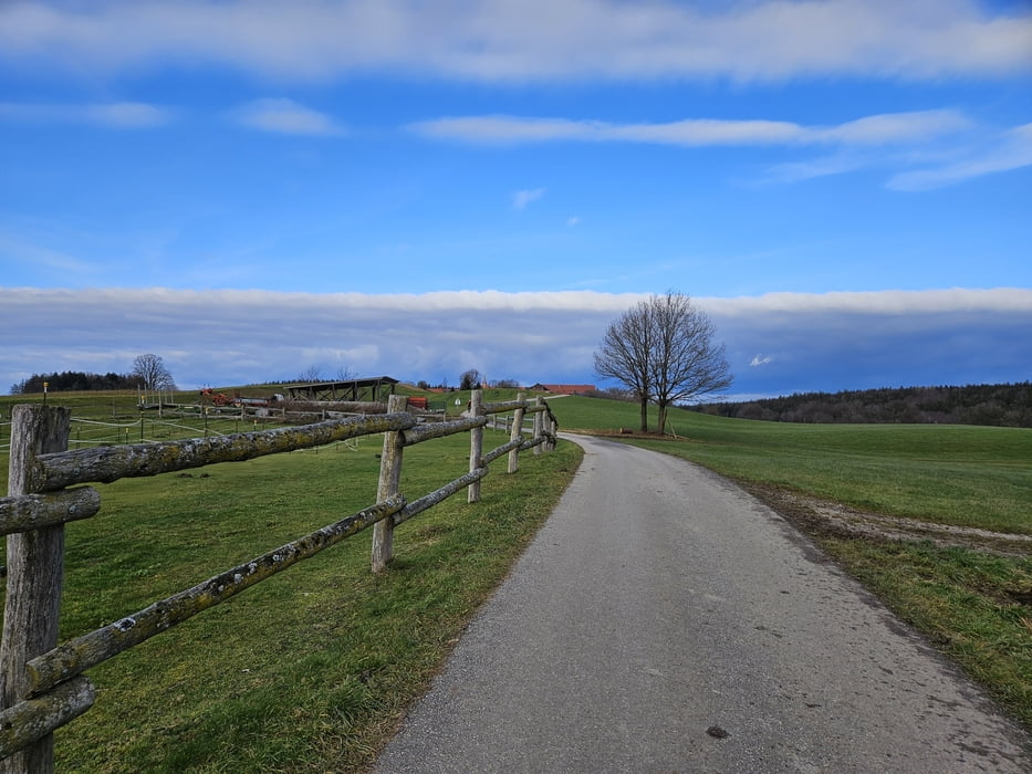
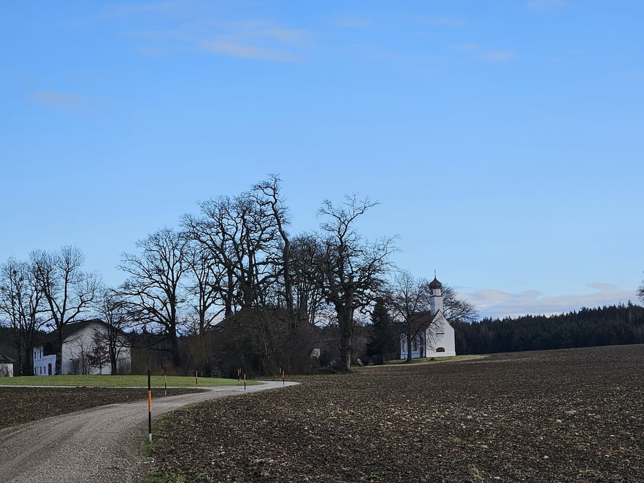
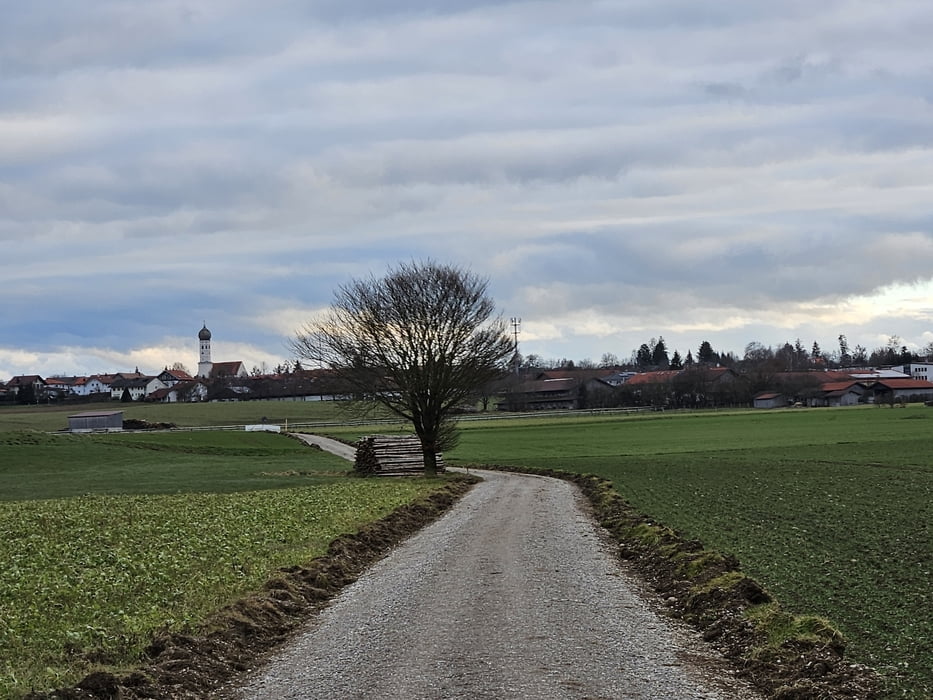
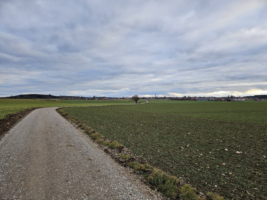
Von Oberpframmern bis Schlacht ist die Strecke sehr schön, weil kleine Wege und abwechslungsreich. Nach Schlacht sind wir auf einen Fahradweg getroffen und die Wege sind breiter und einfacher geworden. Wir sind dann wieder abgebogen, damit es weniger anstrengend ist.
Bei Wolfersberg ist es relativ flach. Bei Oberpframmern ists hügeliger.
Teilweise gehts auch übers Feld. Heute ziemlich windig.
Schöne Runde, die auch bei schlechterem Wetter geht. Feste Schuhe sind trotzdem angesagt.
Further information at
https://de.wikipedia.org/wiki/OberpframmernTour gallery
Tour map and elevation profile
Comments

In Oberpframmern haben wir am Friedhof geparkt. Das ist natürlich kostenfrei. Von München aus über die B304 bis zur Umgehung Zorneding fahren. Dort Richtung Glonn abfahren und in Oberpframmern zum Friedhof.
Man kann auch im Wohngebiet parken.
In Wolfersberg wollten wir nicht parken, da hier viel Privatgrund ausgeschildert ist.
GPS tracks
Trackpoints-
GPX / Garmin Map Source (gpx) download
-
TCX / Garmin Training Center® (tcx) download
-
CRS / Garmin Training Center® (crs) download
-
Google Earth (kml) download
-
G7ToWin (g7t) download
-
TTQV (trk) download
-
Overlay (ovl) download
-
Fugawi (txt) download
-
Kompass (DAV) Track (tk) download
-
Track data sheet (pdf) download
-
Original file of the author (gpx) download

