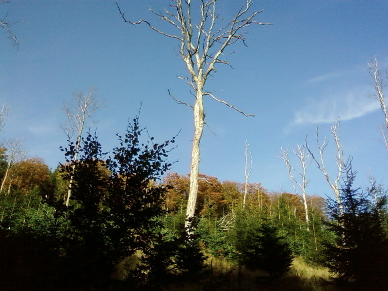
Wunderschöne Höhentour, unbedingt bei guter Fernsicht fahren!
Start und Ziel ist Heinrichsthal.
Von dort aus hoch zum Vogelsang. Ab Mosebolle durchs Nierbachtal aufwärts.
Wendepunkt der Tour ist die Höhe Bracht.
Leider hab ich keine Fotos von der Tour.
Viel Spaß beim Nachfahren!
ich bin Tour am 10.10.08 noch einmal gefahren und ein paar Fotos gemacht.
Tour gallery
Tour map and elevation profile
Minimum height 265 m
Maximum height 675 m
Comments

GPS tracks
Trackpoints-
GPX / Garmin Map Source (gpx) download
-
TCX / Garmin Training Center® (tcx) download
-
CRS / Garmin Training Center® (crs) download
-
Google Earth (kml) download
-
G7ToWin (g7t) download
-
TTQV (trk) download
-
Overlay (ovl) download
-
Fugawi (txt) download
-
Kompass (DAV) Track (tk) download
-
Track data sheet (pdf) download
-
Original file of the author (gpx) download
Add to my favorites
Remove from my favorites
Edit tags
Open track
My score
Rate


