Login

Forgotten password?

Cookies have to be accepted!
Your browser's cookie functionality is disabled. Please enable this functionality.

Not a member yet?

Register now
Login

Available for registred users only

Log in to use this feature.

Forgotten password?

Cookies have to be accepted!
Your browser's cookie functionality is disabled. Please enable this functionality.

Not a member yet?

Register now
Filter
Categories
Advanced filters
  • Distance (km)
  • Height
Save filters Reset filter

TrackRank

QRCode

Technical data

Distance35,7 km Height361 m Way down359 m Duration01:30 h:m Date19.07.2008
Scores Author Landscape Fun factor Fitness Technique

Statistics

617 Views 1 Score 108 Downloads 1.00 Average
Rate
  • Track data sheet
  • Directions
  • Downloads

Als Trauner bin ich immer auf der Suche nach Touren, die man am Abend nach der Arbeit noch radln kann, ohne gleich das Rad auf's Auto packen und zur Gis fahren zu müssen. Diese Route ist eine Möglichkeit. Von Traun-Oedt gehts über Oftering und Freiling nach Axberg zum Gasthof Schober. Dort findet man eine kurze aber nette Singletrail-Abfahrt runter nach Alkoven. Rund um Alkoven gibt es eine Reihe von schönen Trails, die über Kirchberg-Thenning wieder zurück nach Traun führen.

Natürlich kommt die Route in dieser Gegend nicht ohne Asphalt aus. Trotzdem ist es meiner Meinung nach eine gute Möglichkeit zum Tanken von Grundlagenausdauer für längere und steilere Ausfahrten.

Tour map and elevation profile

  • Open Street Map
  • Google
Minimum height 272 m Maximum height 429 m Detailed view

More about the tour author

rstropek
Member since 2008

Send private message

Comments

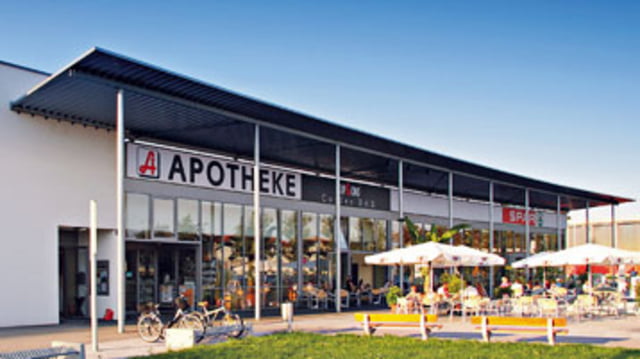
Startpunkt ist der Sparmarkt Schnabl in Traun-Oedt (Traunerstrasse 82, 4050 Traun). Dort kann man problemlos das Auto stehen lassen. Wer möchte kann auch am Oedter Badesee starten. Von dort aus sind es nur wenige Minuten zum Beginn der Route. Das hat den Vorteil, dass man an einem heißen Tag nach dem Radln noch in den See springen kann.

GPS tracks

Trackpoints
  • GPX / Garmin Map Source (gpx) download
  • TCX / Garmin Training Center® (tcx) download
  • CRS / Garmin Training Center® (crs) download
  • Google Earth (kml) download
  • G7ToWin (g7t) download
  • TTQV (trk) download
  • Overlay (ovl) download
  • Fugawi (txt) download
  • Kompass (DAV) Track (tk) download
  • Track data sheet (pdf) download
  • Original file of the author (gpx) download

More about the tour author

rstropek
Member since 2008

Send private message
Share track
Add to my favorites
Remove from my favorites
Edit tags
My score
Rate
Track: Trauner Rundtour
Type: Mountain bike
Distance: 35,7 km
Evaluated on:
Duration:
Day(s)
Hour(s)
Minute(s)
Score: Landscape Fun factor Fitness Technique