

- Berg- und Talfahrt mit Seilbahn (25 €)
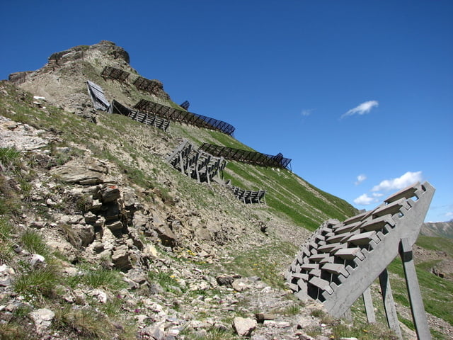
- Einkehrmöglichkeiten bei Rudi's Hütte und bei Prui Hütte
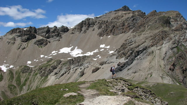
- Aufstieg von Clünas Alm auf Piz Clünas steil und fordernd, rest einfach
- Rückweg zu Prui Hütte nicht ganz eindeutig - im Zweifel der Falllinie nach ;-)
- auf gesamter Tour super tolles Panorama
- Tour kann durch Aufstieg auf Piz Minschun (3068 m) erweitert werden
Further information at
http://www.scuol.ch/pdf_doc/Bergbahnen_pano_Sommer.pdfTour gallery


Tour map and elevation profile
Minimum height 2071 m
Maximum height 2793 m
More about the tour author
|
|
roxidura |
Comments

Anreise mit Bahn und Auto zur Talstation möglich.
GPS tracks
Trackpoints-
GPX / Garmin Map Source (gpx) download
-
TCX / Garmin Training Center® (tcx) download
-
CRS / Garmin Training Center® (crs) download
-
Google Earth (kml) download
-
G7ToWin (g7t) download
-
TTQV (trk) download
-
Overlay (ovl) download
-
Fugawi (txt) download
-
Kompass (DAV) Track (tk) download
-
Track data sheet (pdf) download
-
Original file of the author (gpx) download
More about the tour author
|
|
roxidura |
Add to my favorites
Remove from my favorites
Edit tags
Open track
My score
Rate