
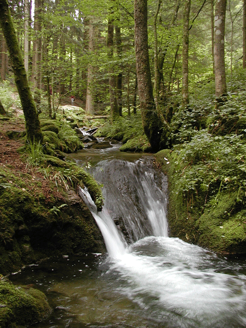

Schöne Wanderung durch die Wasserfälle des Gottschlägbach am Edelfrauengrab vorbei bis zum Karlsruher Grat der in 2 Varianten zu durchwandern ist. V1. als kleiner Klettersteig (bitte nicht bei Nässe oder Schnee) oder V2. über einen einfachen Wanderweg.
Der Weg führt uns nun noch über den "Brennte Schrofen" ein schöner Aussichtspunkt und von hier aus zurück zum Parkplatz
Wichtig für die Variante 1--->Karlsruher Grat:
- nicht bei Nässe
- festes Schuhwerk
- Trittsicherheit
Die Tour bietet tolle Ausblicke auf eine sagenhafte Landschaft und den einzigen Klettersteig im Schwarzwald.
Further information at
http://de.wikipedia.org/wiki/Karlsruher_GratTour map and elevation profile
Minimum height 376 m
Maximum height 852 m
More about the tour author

|
skrauser |
Comments
Über die Autobahn A5 bis zur Ausfahrt Achern dann bis Ottenhöfen. Ist von der Autobahnabfahrt beschildert.
GPS tracks
Trackpoints-
GPX / Garmin Map Source (gpx) download
-
TCX / Garmin Training Center® (tcx) download
-
CRS / Garmin Training Center® (crs) download
-
Google Earth (kml) download
-
G7ToWin (g7t) download
-
TTQV (trk) download
-
Overlay (ovl) download
-
Fugawi (txt) download
-
Kompass (DAV) Track (tk) download
-
Track data sheet (pdf) download
-
Original file of the author (gpx) download
More about the tour author
|
|
skrauser |
Add to my favorites
Remove from my favorites
Edit tags
Open track
My score
Rate
Super