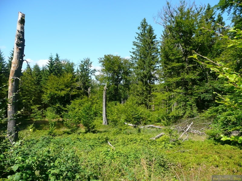
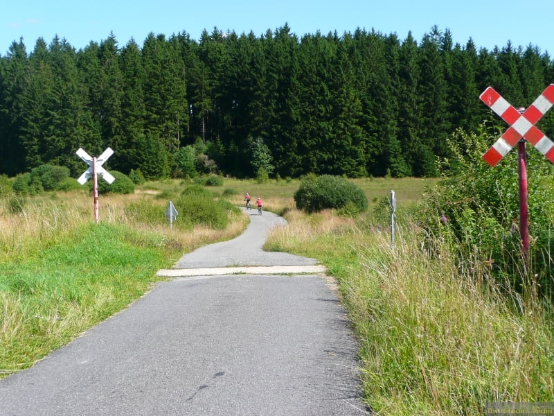
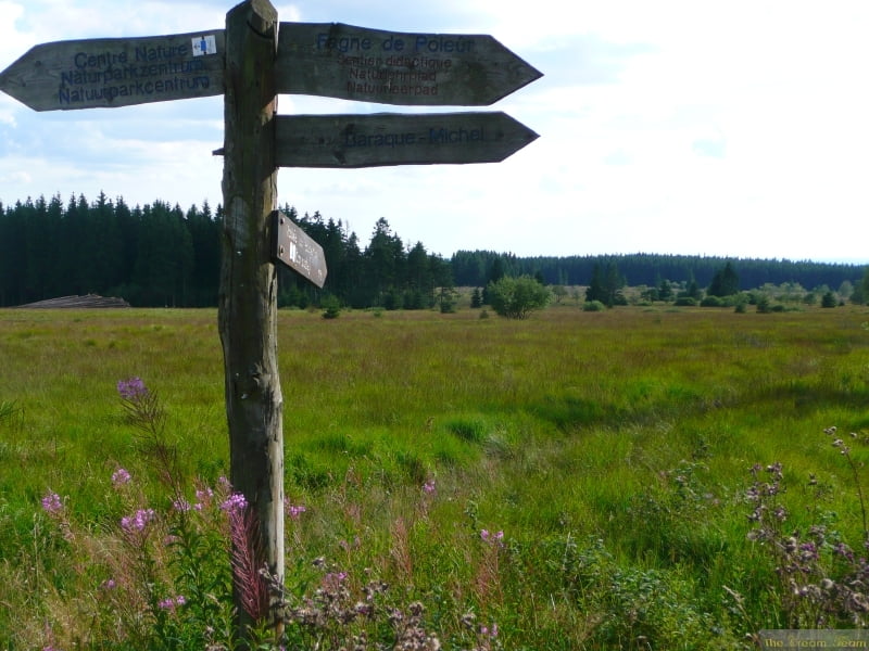
This is a really light tour suitable for any bike except a racing bike, it is also suitable for children.
Start at the 'Centre Nature de Botrange' carpark. The tour is based on the Velo Tour waypoint system and takes you through the Fenn on good tracks and side roads.
The best time of year is Spring or Automn, when the colours are fantastic.
Further information at
http://www.creamteam.beTour gallery
Tour map and elevation profile
Minimum height 464 m
Maximum height 662 m
Comments

GPS tracks
Trackpoints-
GPX / Garmin Map Source (gpx) download
-
TCX / Garmin Training Center® (tcx) download
-
CRS / Garmin Training Center® (crs) download
-
Google Earth (kml) download
-
G7ToWin (g7t) download
-
TTQV (trk) download
-
Overlay (ovl) download
-
Fugawi (txt) download
-
Kompass (DAV) Track (tk) download
-
Track data sheet (pdf) download
-
Original file of the author (gpx) download
Add to my favorites
Remove from my favorites
Edit tags
Open track
My score
Rate


