


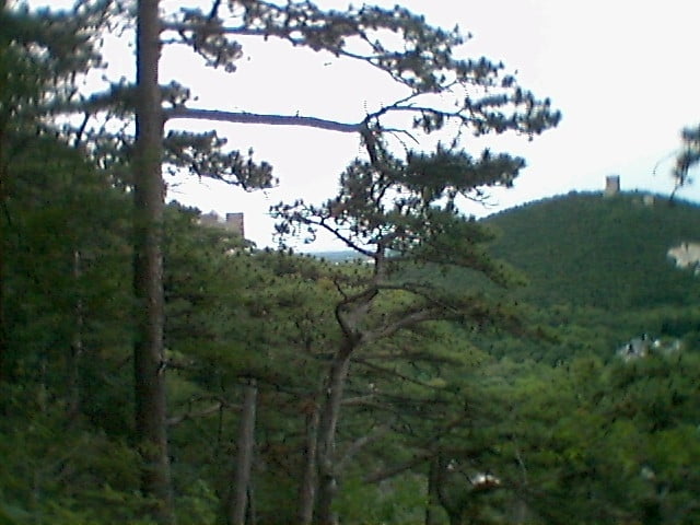
Die Route beginnt beim Bahnhof Mödling und führt auf Radwegen durch die Klausen in die Hinterbrühl. Von hier geht es auf wenig befahrenen Straßen über Hochroterd (kurz vor Hochroterd ein herrlicher Blick zum Schneeberg) nach Breitenfurt.
Von Breitenfurt Ost geht es wieder auf Radwegen dem Liesingbach entlang zum Bahnhof Liesing (bis hierher 34 km).
Die Tour führt dann weiter nach Inzersdorf und trifft dort auf den Thermenradweg.
Den folgt man bis Biedermannsdorf. Nach Biedermannsdorf fährt man auf Radwegen entlang des Mödlingbaches zurück zum Bahnhof Mödling.
Ich empfehle die Tour in der beschriebenen Richtung zu machen, da der Anstieg von Breitenfurt nach Hochroterd sehr steil ist.
Further information at
http://www.wienerwald.net/wienerwaldTour gallery


Tour map and elevation profile
Minimum height 182 m
Maximum height 525 m
More about the tour author

|
efelber |
Comments

Mit dem Zug oder dem Auto zum Bahnhof Mödling.
GPS tracks
Trackpoints-
GPX / Garmin Map Source (gpx) download
-
TCX / Garmin Training Center® (tcx) download
-
CRS / Garmin Training Center® (crs) download
-
Google Earth (kml) download
-
G7ToWin (g7t) download
-
TTQV (trk) download
-
Overlay (ovl) download
-
Fugawi (txt) download
-
Kompass (DAV) Track (tk) download
-
Track data sheet (pdf) download
-
Original file of the author (gpx) download
More about the tour author
|
|
efelber |
Add to my favorites
Remove from my favorites
Edit tags
Open track
My score
Rate