


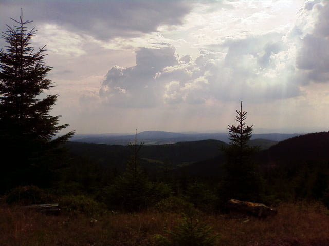
Der Rennsteig mit Start Eisenach Hauptbahnhof bis zur Saale in Blankenstein.Wir haben versucht hauptsächlich den Rennsteigwanderweg zu benutzen ,sind aber hin und wieder doch auf dem Radwanderweg am Rennsteig gelandet.Manche Passagen sind wirklich nicht fahrend zu bewältigen.Wo das vorhersehbar war ,sind wir auch auf den Radwanderweg ausgewischen !Bei Brennersgrün ist ein Abstecher zum Altvaterturm drin. Und wer in Blankenstein angekommen ist und noch ein paar Körner übrig , hat kann ohne Pause weiter auf den Saaleradweg !!
Tour gallery

Tour map and elevation profile
Minimum height 219 m
Maximum height 967 m
More about the tour author

|
cuberider2003 |
Comments

Anfahrt mit der DB Eisenach HBF. Von dort durch die Stadt zur Hohen Sonne.Rückfahrt ab Blankenstein mit DB ist möglich ,aber sehr umständlich.
GPS tracks
Trackpoints-
GPX / Garmin Map Source (gpx) download
-
TCX / Garmin Training Center® (tcx) download
-
CRS / Garmin Training Center® (crs) download
-
Google Earth (kml) download
-
G7ToWin (g7t) download
-
TTQV (trk) download
-
Overlay (ovl) download
-
Fugawi (txt) download
-
Kompass (DAV) Track (tk) download
-
Track data sheet (pdf) download
-
Original file of the author (gpx) download
More about the tour author
|
|
cuberider2003 |
Add to my favorites
Remove from my favorites
Edit tags
Open track
My score
Rate