


Es handelt sich um einen sogenannten Schlaufenweg zum Altmühltal Panoramaweg. Der Weg ist gut ausgeschildert; gut beschrieben ist er im Wanderführer des Magentaverlages: Altmühltal Panoramaweg mit Schlaufenwegen.
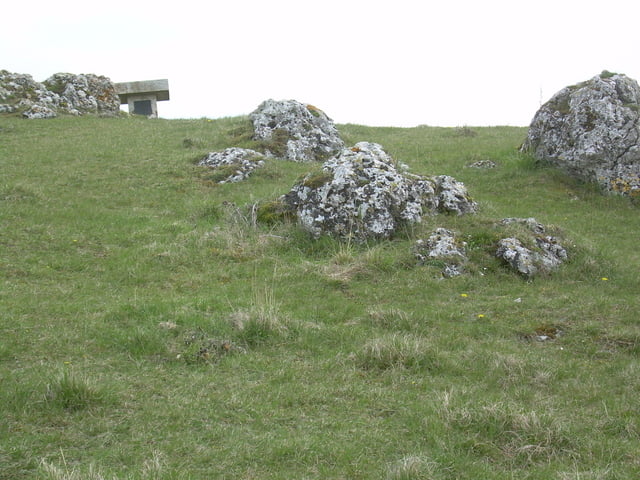
Beeindruckend ist die Fossa Carolina, der Karlsgraben bei der Ortschaft Graben. Am Bubenheimer Berg finden wir Felsen vom Riesauswurf. Beeindruckt hat mich auch die sauber gepflegte Kriegsgräberstätte am Nagelberg.
Further information at
http://www.magenta4.com/Tour gallery
Tour map and elevation profile
Minimum height 400 m
Maximum height 500 m
More about the tour author

|
OlafK |
Comments

Am besten startet man an der Stadthalle in Treuchtlingen, wo man auch sehr gut parken kann.
GPS tracks
Trackpoints-
GPX / Garmin Map Source (gpx) download
-
TCX / Garmin Training Center® (tcx) download
-
CRS / Garmin Training Center® (crs) download
-
Google Earth (kml) download
-
G7ToWin (g7t) download
-
TTQV (trk) download
-
Overlay (ovl) download
-
Fugawi (txt) download
-
Kompass (DAV) Track (tk) download
-
Track data sheet (pdf) download
-
Original file of the author (gpx) download
More about the tour author
|
|
OlafK |
Add to my favorites
Remove from my favorites
Edit tags
Open track
My score
Rate