


Tourbeschreibung im Büchlein "Hochrhöner, Extratouren". Vertrieb durch Buchhandlung Uptmoor, Fulda. Auch erhältlich in den lokalen Buchhandlungen.
Das Kissingr Haus ist ein Höhepnkt der Tour wegen seiner besonderen Lage und dem Blick weit ins Land hinaus.
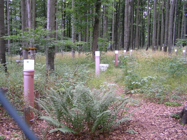
Das Naturreservat Lösershag ist ein weiterer Höhepunkt der Tour; auch den ehemaligen Basaltsteinbruch am Kellerstein sollte man nicht links liegen lassen.
An manchen Steigungen kommt der Wanderer ganz schön ins Schwitzen.
Further information at
http://www.uptmoorbuch.deTour gallery

Tour map and elevation profile
Minimum height 513 m
Maximum height 830 m
More about the tour author

|
OlafK |
Comments

Man kann die Tour direkt am Kissinger Haus auf dem Feuerberg beginnen, weil man den dortigen Parkplatz mit dem Auto erreichen kann. Wer aber nicht so sehr ins Gelände fahren mag, kann die Tour um gute 3 km verlängern und seinen PKW am Basaltwerk an der Straße Gefäll/Oberbach parken.
GPS tracks
Trackpoints-
GPX / Garmin Map Source (gpx) download
-
TCX / Garmin Training Center® (tcx) download
-
CRS / Garmin Training Center® (crs) download
-
Google Earth (kml) download
-
G7ToWin (g7t) download
-
TTQV (trk) download
-
Overlay (ovl) download
-
Fugawi (txt) download
-
Kompass (DAV) Track (tk) download
-
Track data sheet (pdf) download
-
Original file of the author (gpx) download
More about the tour author
|
|
OlafK |
Add to my favorites
Remove from my favorites
Edit tags
Open track
My score
Rate