


Sonnenbergklippe und Brockengipfel
(gefahren 16.08.08)
Startpunkt:
Parkplatz des Hallenbades in Braunlage.
Streckenführung:
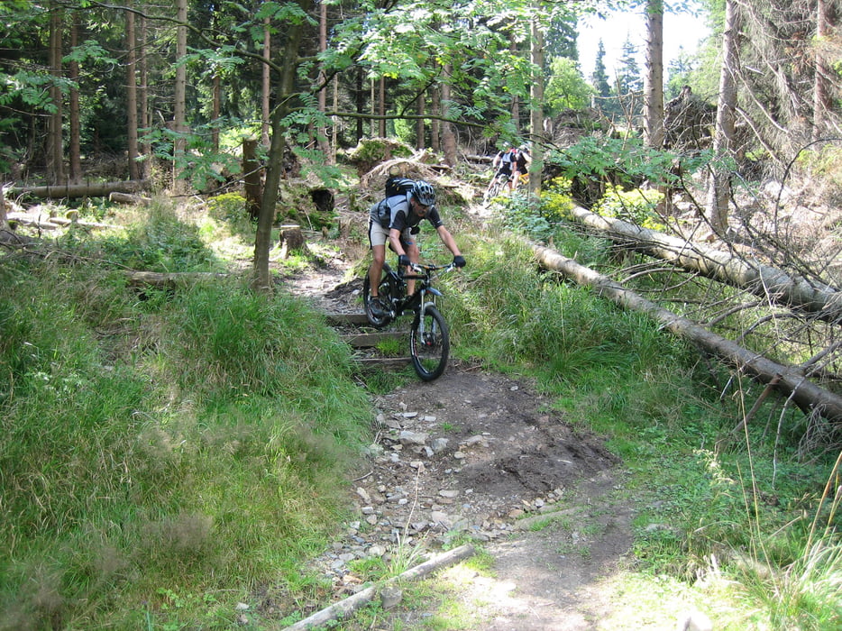
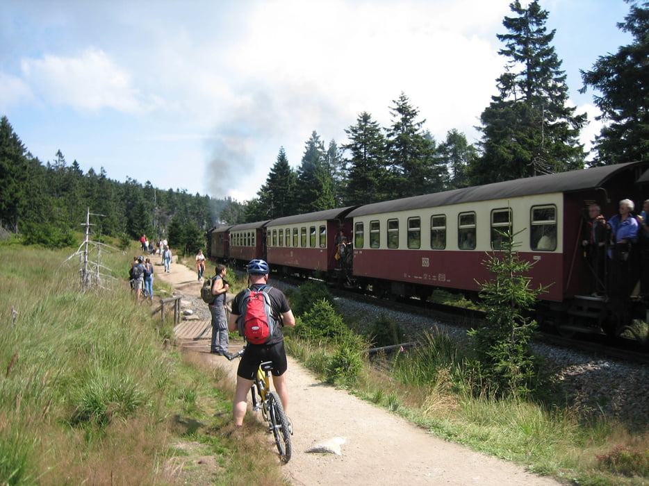
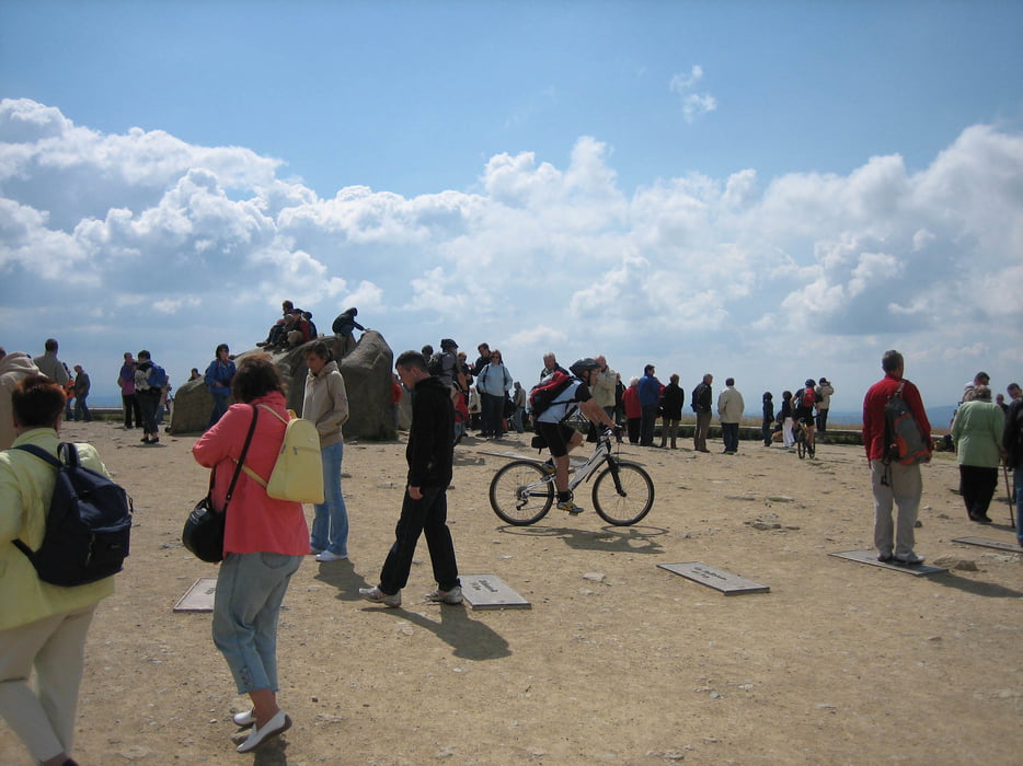
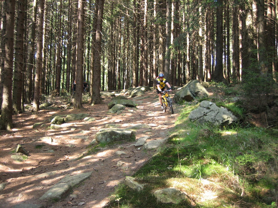
Silberteich – Odertal – Jordanshöhe - Sonnenberger Graben – Sonnenbergklippen -Clausthaler Flutgraben - Richtung Magdeburger Weg/Torfhaus – Torfhaus - auf dem Goetheweg zum Brocken (total entspannt mit der Wanderstiefelfraktion) – Brockengipfel – Brockenbett - Glashüttenweg – Ahrensklint - Schierke Bahnhof - Dreieckiger Pfahl – Bärenbrücke - Braunlage
Trails:
Sonnenberger Graben, Clausthaler Flutgraben, Richtung Magdeburger Weg/Torfhaus, Goetheweg (paralell zum Moorsteg), Ahrensklint zum Schierker Bahnhof
Insgesamt eine interessante und spannende Tour mit hohem Trailanteil.
Tour gallery
Tour map and elevation profile
Minimum height 480 m
Maximum height 1141 m
More about the tour author

|
Waldmasta |
Comments

GPS tracks
Trackpoints-
GPX / Garmin Map Source (gpx) download
-
TCX / Garmin Training Center® (tcx) download
-
CRS / Garmin Training Center® (crs) download
-
Google Earth (kml) download
-
G7ToWin (g7t) download
-
TTQV (trk) download
-
Overlay (ovl) download
-
Fugawi (txt) download
-
Kompass (DAV) Track (tk) download
-
Track data sheet (pdf) download
-
Original file of the author (gpx) download
More about the tour author
|
|
Waldmasta |
Add to my favorites
Remove from my favorites
Edit tags
Open track
My score
Rate