

Startpunkt der Wanderung ist Simonskall. Parkplätze sind im Ort vorhanden.
Von dort geht es in den Wald und zu den Bunkern. Da fast alle Bunker unzerstört und begehbar sind, empfiehlt es sich eine Taschenlampe mitzunehmen.
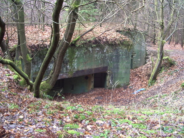
Achtung: Zum Bunker 132 sind wir ein Stück querfeldein gegangen. Man kann aber auch dem Rundweg folgen.
Die Bunker sind teilweise ausgeschildert.
In Simonskall kann man ausserdem den Sanitätsbunker besichtigen.
Öffnungszeiten:
Von Mai bis Oktober jeden ersten Samstag im Monat von 14:00 bis 15:00 Uhr oder nach Vereinbarung.
Herr Scholl 02429 7241
Tour gallery


Tour map and elevation profile
Minimum height 299 m
Maximum height 627 m
More about the tour author
|
|
essereric |
Comments

GPS tracks
Trackpoints-
GPX / Garmin Map Source (gpx) download
-
TCX / Garmin Training Center® (tcx) download
-
CRS / Garmin Training Center® (crs) download
-
Google Earth (kml) download
-
G7ToWin (g7t) download
-
TTQV (trk) download
-
Overlay (ovl) download
-
Fugawi (txt) download
-
Kompass (DAV) Track (tk) download
-
Track data sheet (pdf) download
-
Original file of the author (gpx) download
More about the tour author
|
|
essereric |
Add to my favorites
Remove from my favorites
Edit tags
Open track
My score
Rate