Login

Forgotten password?

Cookies have to be accepted!
Your browser's cookie functionality is disabled. Please enable this functionality.

Not a member yet?

Register now
Login

Available for registred users only

Log in to use this feature.

Forgotten password?

Cookies have to be accepted!
Your browser's cookie functionality is disabled. Please enable this functionality.

Not a member yet?

Register now
Filter
Categories
Advanced filters
  • Distance (km)
  • Height
Save filters Reset filter

TrackRank

QRCode

Technical data

Distance23,9 km Height599 m Way down592 m Duration04:45 h:m Date24.08.2008
Scores Author Landscape Fun factor Fitness Technique

Statistics

2747 Views Scores 288 Downloads Average
Rate
  • Track data sheet
  • Directions
  • Downloads

Vom Parkplatz Krün am Barmsee vorbei nach Klais. Richtung Am Quicken und weiter nach zum Tennsee. Kurz vorher abbigen Richtung Mittenwald und dann über die Isar und zurück nach Krün.


Eine Tour aus dem Herbst 2007.
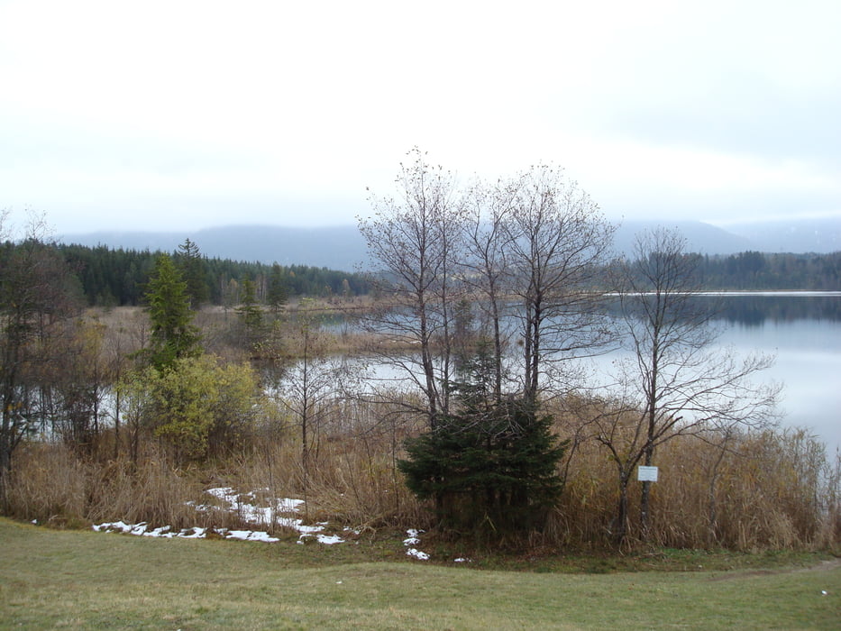
Tour gallery

Tour map and elevation profile

  • Open Street Map
  • Google
Minimum height 751 m Maximum height 989 m Detailed view

More about the tour author

Warnr
Member since 2008

Send private message

Comments

Kostenpflichtiger Parkplatz in Krün ist ausgeschildert.


GPS tracks

Trackpoints
  • GPX / Garmin Map Source (gpx) download
  • TCX / Garmin Training Center® (tcx) download
  • CRS / Garmin Training Center® (crs) download
  • Google Earth (kml) download
  • G7ToWin (g7t) download
  • TTQV (trk) download
  • Overlay (ovl) download
  • Fugawi (txt) download
  • Kompass (DAV) Track (tk) download
  • Track data sheet (pdf) download
  • Original file of the author (gpx) download

More about the tour author

Warnr
Member since 2008

Send private message
Share track
Add to my favorites
Remove from my favorites
Edit tags
My score
Rate
Track: Krün-Barmsee-Mittenwald und zurück
Type: Hiking
Distance: 23,9 km
Evaluated on:
Duration:
Day(s)
Hour(s)
Minute(s)
Score: Landscape Fun factor Fitness Technique