Login

Forgotten password?

Cookies have to be accepted!
Your browser's cookie functionality is disabled. Please enable this functionality.

Not a member yet?

Register now
Login

Available for registred users only

Log in to use this feature.

Forgotten password?

Cookies have to be accepted!
Your browser's cookie functionality is disabled. Please enable this functionality.

Not a member yet?

Register now
Filter
Categories
Advanced filters
  • Distance (km)
  • Height
Save filters Reset filter

TrackRank

QRCode

Technical data

Distance12,6 km Height829 m Way down832 m Duration00:00 h:m Date24.08.2008
Scores Author Landscape Fun factor Fitness Technique

Statistics

3321 Views 1 Score 175 Downloads 4.00 Average
Rate
  • Track data sheet
  • Directions
  • Downloads

Von Graswang aus Richtung Stürz Diensthütte und dann immer den Kühalpenbach entlang bis zur Kuhalmhütte. Dann geht es über die Forststr. zurück.


Eine Tour aus dem Herbst 2007.
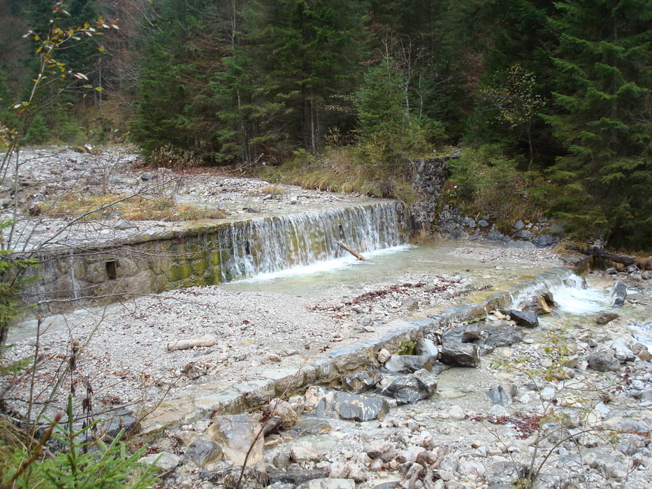
Tour gallery

Tour map and elevation profile

  • Open Street Map
  • Google
Minimum height 846 m Maximum height 1342 m Detailed view

More about the tour author

Warnr
Member since 2008

Send private message

Comments

Jennerwein on 11.08.2012

Sehr reizvoll

Der Anstieg ist durch die vielen Wasserfälle sehr reizvoll. Es geht meist über schmale Pfade. Sie sind zwar gut zu gehen, etwas Trittsicherheit ist jedoch schon notwendig, da es teilweise links steil den Abgang runter geht. Da man einige Male den Bach queren muss, sind einigermaßen wasserdichte Schuhe nicht verkehrt.

Unterwegs gibt es keine Einkehrmöglichkeit, die Kuhalm ist nicht bewirtschaftet. In Graswang ist der Fischerwirt zu empfehlen.

Von Ettal aus fast durch Graswang durch und dann links auf die Parkplätze abbiegen.

GPS tracks

Trackpoints
  • GPX / Garmin Map Source (gpx) download
  • TCX / Garmin Training Center® (tcx) download
  • CRS / Garmin Training Center® (crs) download
  • Google Earth (kml) download
  • G7ToWin (g7t) download
  • TTQV (trk) download
  • Overlay (ovl) download
  • Fugawi (txt) download
  • Kompass (DAV) Track (tk) download
  • Track data sheet (pdf) download
  • Original file of the author (gpx) download

More about the tour author

Warnr
Member since 2008

Send private message
Share track
Add to my favorites
Remove from my favorites
Edit tags
My score
Rate
Track: Graswang-Kuhalmhütte und zurück
Type: Hiking
Distance: 12,6 km
Evaluated on:
Duration:
Day(s)
Hour(s)
Minute(s)
Score: Landscape Fun factor Fitness Technique