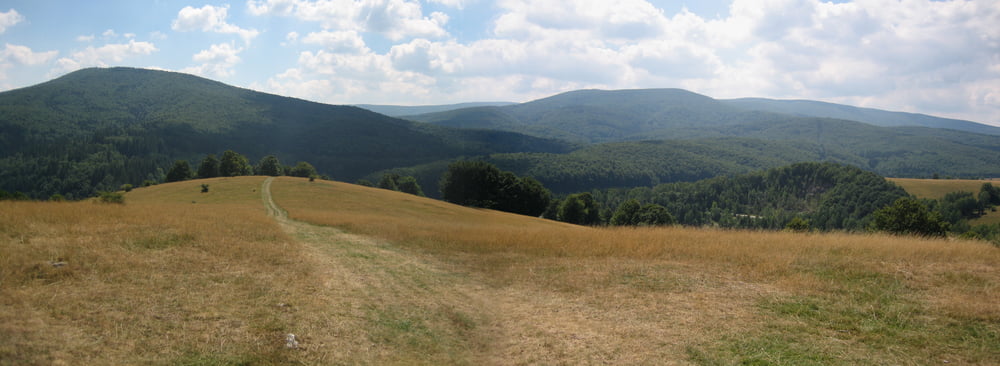
Landschaftlich sehr schöne BrebuNou (Weidenthal) Umrundung. Kurze, teils sehr knackige Rampen auf überwiegend Wiesentrails. Tolle Aussicht über die westlichen Ausläufer der Karpaten.
Viel Spass!
Bitte bei der im Profil angegebenen Höhe 1000m abziehen, so hoch ist es dann doch nicht. Gefahrene Hm stimmen aber...
Tour gallery
Tour map and elevation profile
Minimum height 1768 m
Maximum height 2004 m
Comments

GPS tracks
Trackpoints-
GPX / Garmin Map Source (gpx) download
-
TCX / Garmin Training Center® (tcx) download
-
CRS / Garmin Training Center® (crs) download
-
Google Earth (kml) download
-
G7ToWin (g7t) download
-
TTQV (trk) download
-
Overlay (ovl) download
-
Fugawi (txt) download
-
Kompass (DAV) Track (tk) download
-
Track data sheet (pdf) download
-
Original file of the author (gpx) download
Add to my favorites
Remove from my favorites
Edit tags
Open track
My score
Rate


