


Diese Tour führt von Eschhofen (Tankstelle) aus über Niederbrechen/Werschau nach Bad Camberg, und von dort per "querverbindung" nach Burgschwalbach und dann zurück nach Eschhofen (Bahnhof).
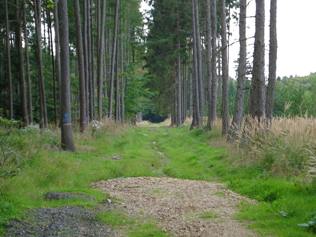
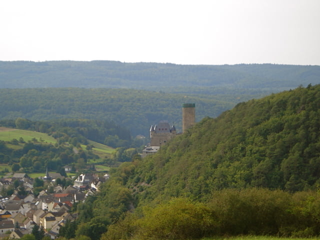
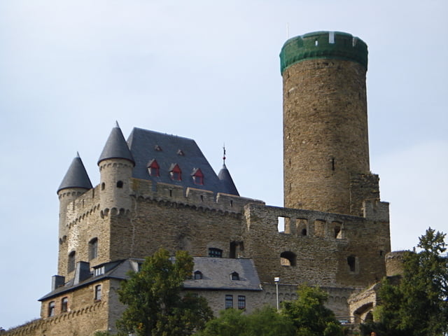
Richtung Bad Camberg geht es überwiegend an der ICE Strecke entlang. Hinter Bad Camberg geht es durch die Wälder nach Burgschwalbach. Dies ist der schönste Teil der Strecke, da Landschaftlich sehr ansprechend :)
Es sind nur wenige Strassenabschnitte dabei, einmal muss die B417 an einer übersichtlichen Stelle überquert werden. Manche Wege erfordern ein MTB.
Eine sehr schöne Tour!
Tour gallery
Tour map and elevation profile
Minimum height 112 m
Maximum height 392 m
More about the tour author
|
|
apex |
Comments

GPS tracks
Trackpoints-
GPX / Garmin Map Source (gpx) download
-
TCX / Garmin Training Center® (tcx) download
-
CRS / Garmin Training Center® (crs) download
-
Google Earth (kml) download
-
G7ToWin (g7t) download
-
TTQV (trk) download
-
Overlay (ovl) download
-
Fugawi (txt) download
-
Kompass (DAV) Track (tk) download
-
Track data sheet (pdf) download
-
Original file of the author (gpx) download
More about the tour author
|
|
apex |
Add to my favorites
Remove from my favorites
Edit tags
Open track
My score
Rate