Login

Forgotten password?

Cookies have to be accepted!
Your browser's cookie functionality is disabled. Please enable this functionality.

Not a member yet?

Register now
Login

Available for registred users only

Log in to use this feature.

Forgotten password?

Cookies have to be accepted!
Your browser's cookie functionality is disabled. Please enable this functionality.

Not a member yet?

Register now
Filter
Categories
Advanced filters
  • Distance (km)
  • Height
Save filters Reset filter

TrackRank

QRCode

Technical data

Distance75,4 km Height1262 m Way down1252 m Duration03:30 h:m Date03.09.2008
Scores Author Landscape Fun factor Fitness Technique

Statistics

620 Views Scores 44 Downloads Average
Rate
  • Track data sheet
  • Directions
  • Downloads

Eine schöne und abwechslungsreiche Tour mit gewissen Höhenpunkten konditionell wie auch in der Fahrtechnik.

Viel Spaß es Lohnt sich.
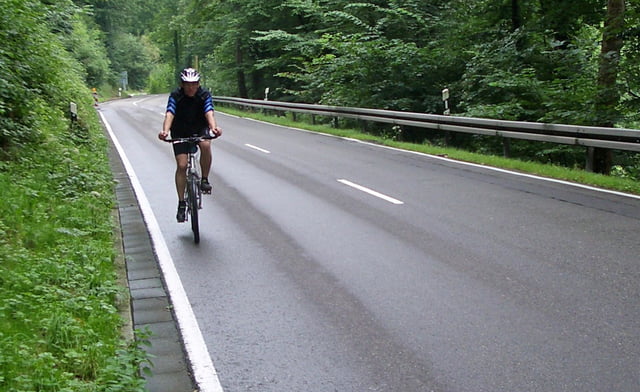
Tour gallery

Tour map and elevation profile

  • Open Street Map
  • Google
Minimum height 307 m Maximum height 769 m Detailed view

More about the tour author

Alwin
Member since 2008

Send private message

Comments

GPS tracks

Trackpoints
  • GPX / Garmin Map Source (gpx) download
  • TCX / Garmin Training Center® (tcx) download
  • CRS / Garmin Training Center® (crs) download
  • Google Earth (kml) download
  • G7ToWin (g7t) download
  • TTQV (trk) download
  • Overlay (ovl) download
  • Fugawi (txt) download
  • Kompass (DAV) Track (tk) download
  • Track data sheet (pdf) download
  • Original file of the author (gpx) download

More about the tour author

Alwin
Member since 2008

Send private message
Share track
Add to my favorites
Remove from my favorites
Edit tags
My score
Rate
Track: Reutlingen Plitzhausen Hülben Urach Lonsingen Eningen
Type: Trekkingbike
Distance: 75,4 km
Evaluated on:
Duration:
Day(s)
Hour(s)
Minute(s)
Score: Landscape Fun factor Fitness Technique