Login

Forgotten password?

Cookies have to be accepted!
Your browser's cookie functionality is disabled. Please enable this functionality.

Not a member yet?

Register now
Login

Available for registred users only

Log in to use this feature.

Forgotten password?

Cookies have to be accepted!
Your browser's cookie functionality is disabled. Please enable this functionality.

Not a member yet?

Register now
Filter
Categories
Advanced filters
  • Distance (km)
  • Height
Save filters Reset filter

TrackRank

QRCode

Technical data

Distance8,2 km Height541 m Way down530 m Duration02:54 h:m Date05.09.2008
Scores Author Landscape Fun factor Fitness Technique

Statistics

345 Views Scores 29 Downloads Average
Rate
  • Track data sheet
  • Directions
  • Downloads

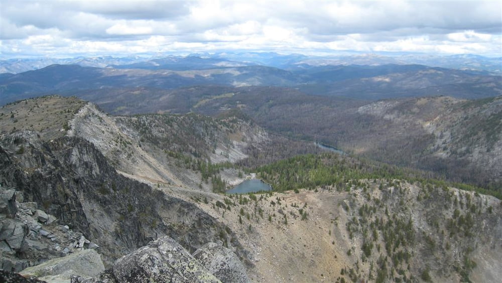
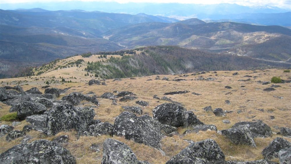
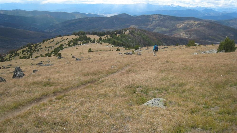
Tiffany Mountain Hike via the Freezeout Ridge Trail.

The weather was cool this week, around freezing most of the time, it snowed on us near the top.

Mountain Bluebirds were about all the animal life seen.

 My GPS:  Mainnav MG-950d

Tour gallery

Tour map and elevation profile

  • Open Street Map
  • Google
Minimum height 2002 m Maximum height 2527 m Detailed view

More about the tour author

Hank
Member since 2008

Send private message

Comments

NE of Winthrop, WA

GPS tracks

Trackpoints
  • GPX / Garmin Map Source (gpx) download
  • TCX / Garmin Training Center® (tcx) download
  • CRS / Garmin Training Center® (crs) download
  • Google Earth (kml) download
  • G7ToWin (g7t) download
  • TTQV (trk) download
  • Overlay (ovl) download
  • Fugawi (txt) download
  • Kompass (DAV) Track (tk) download
  • Track data sheet (pdf) download
  • Original file of the author (gpx) download

More about the tour author

Hank
Member since 2008

Send private message
Share track
Add to my favorites
Remove from my favorites
Edit tags
My score
Rate
Track: Tiffany Mountain
Type: Hiking
Distance: 8,2 km
Evaluated on:
Duration:
Day(s)
Hour(s)
Minute(s)
Score: Landscape Fun factor Fitness Technique