
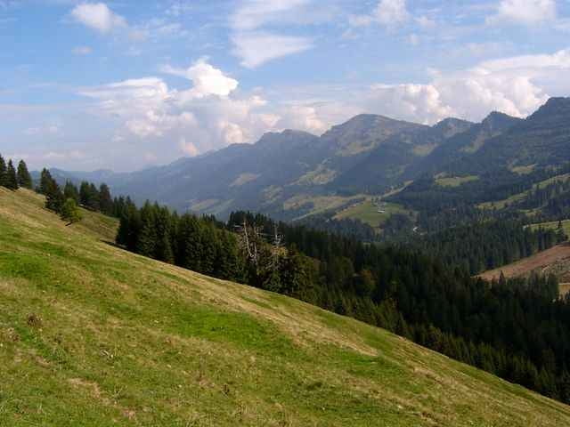

einfache Wandertour von Schindelberg über den 3Länderblick Aussichtspunkt zum Steinernen Tor, weiter Richtung Fluh, davor links zur Unteren Fluhalpe und wieder zurück am Bärenloch vorbei nach Schindelberg.
Zum steinerenen Tor hoch ist es recht steil, man kann in Hagspiel auch den flacheren Güterweg nehmen. Am Steinerenen Tor geht es rechts zum Kojen, ebenfallls ein Aussichtspunkt.
Zum steinerenen Tor hoch ist es recht steil, man kann in Hagspiel auch den flacheren Güterweg nehmen. Am Steinerenen Tor geht es rechts zum Kojen, ebenfallls ein Aussichtspunkt.
Tour gallery

Tour map and elevation profile
Minimum height 881 m
Maximum height 1341 m
More about the tour author
|
|
skyhopper |
Comments

Auf der B308 nach Oberstaufen im Allgäu, dort Richtung Steibis Hochgratbahn fahren. Am Ortsanfang von Steibis rechts nach Schindelberg. Am Ortsende ist ein Parkplatz (nach dem Hotel Parkplatz).
GPS tracks
Trackpoints-
GPX / Garmin Map Source (gpx) download
-
TCX / Garmin Training Center® (tcx) download
-
CRS / Garmin Training Center® (crs) download
-
Google Earth (kml) download
-
G7ToWin (g7t) download
-
TTQV (trk) download
-
Overlay (ovl) download
-
Fugawi (txt) download
-
Kompass (DAV) Track (tk) download
-
Track data sheet (pdf) download
-
Original file of the author (gpx) download
More about the tour author
|
|
skyhopper |
Add to my favorites
Remove from my favorites
Edit tags
Open track
My score
Rate