


Nach dem Start geht es zunächst an der Weingenossenschaft vorbei und in einer weiten Schleife durch den Weinberg. Hierbei gewinnt man nach und nach an Höhe und es bieten sich einem sehr schöne Ausblicke auf Metzingen und die Alp.
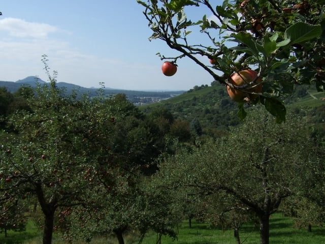
Als nächstes geht es in einen kleinen Talkessel und durch die schönen Streuobstwiesen, bis man am Gegenhang wieder in den "Wein" kommt.
Nun geht es durch das Tal wieder zurück zum Ausgangspunkt.
Tour gallery
Tour map and elevation profile
Minimum height 243 m
Maximum height 439 m
More about the tour author

|
Comments

Von Metzingen kommend der Beschilderung nach Urach folgen. Nach einer kurzen Strecke auf der Schnellstraße, nach Neuhausen an der Erms abbiegen.
Innerhalb des Ortes der Beschilderung zum Bahnhof folgen.
GPS tracks
Trackpoints-
GPX / Garmin Map Source (gpx) download
-
TCX / Garmin Training Center® (tcx) download
-
CRS / Garmin Training Center® (crs) download
-
Google Earth (kml) download
-
G7ToWin (g7t) download
-
TTQV (trk) download
-
Overlay (ovl) download
-
Fugawi (txt) download
-
Kompass (DAV) Track (tk) download
-
Track data sheet (pdf) download
-
Original file of the author (gpx) download
More about the tour author
|
|
Add to my favorites
Remove from my favorites
Edit tags
Open track
My score
Rate