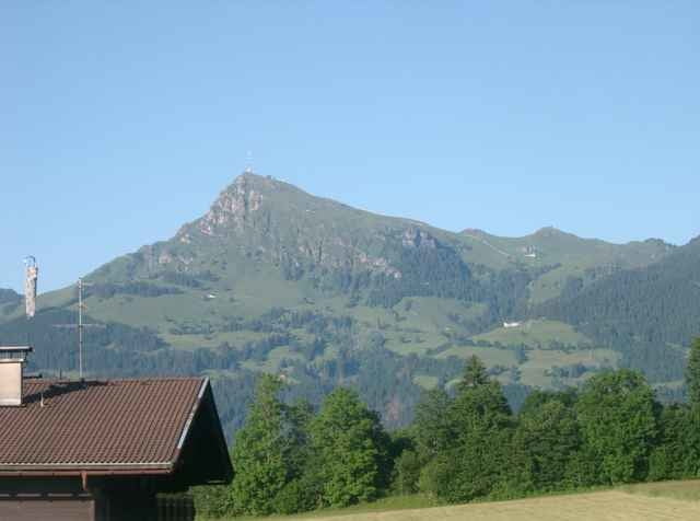
Von der Fleckalmbahn Radweg nach Kitzbühel, vorm Schwarzsee in Richtung Reith einbiegen u. weiter nach Oberndorf, St. Johann, Reitham ins Fieberbrunnertal , hier beginnt der Anstieg
(Route Tirol Vital )vorbei an der Reisenbergalm, unteren u. oberen Reintalalm steil zum Hornköpflhaus, über den Zaun u. ca. 300 m hoch schieben (Liftstation), anschließend der Straße
zum Horn folgen (Aussicht), Abfahrt bis zur Kehre Abzweig links zur Ackeralm, Strecke verläuft teils im Bachbett teils in Schotter in Richtung Kitz u. zurück
Tour gallery
Tour map and elevation profile
Minimum height 664 m
Maximum height 1985 m
Comments
Auf Inntalautobahn bis Ausfahrt Wörgl und weiter
über Hopfgarten nach Kirchberg
über Hopfgarten nach Kirchberg
GPS tracks
Trackpoints-
GPX / Garmin Map Source (gpx) download
-
TCX / Garmin Training Center® (tcx) download
-
CRS / Garmin Training Center® (crs) download
-
Google Earth (kml) download
-
G7ToWin (g7t) download
-
TTQV (trk) download
-
Overlay (ovl) download
-
Fugawi (txt) download
-
Kompass (DAV) Track (tk) download
-
Track data sheet (pdf) download
-
Original file of the author (g7t) download
Add to my favorites
Remove from my favorites
Edit tags
Open track
My score
Rate


Ganz genial!
Toptour!
mooie tour!!