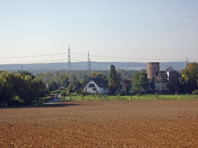
Tour die Anfangs harmlos beginnt und aufgrund der Bodenbeschaffenheit einige Ansprüche stellt.
Besichtigung des Bunkers dauert ca eine Stunde. In der Nähe des Bunkers mehrere Möglichkeiten einzukehren. Weg geht teilweise über den Rotweinwanderweg.
Entsanden aus einer Tour vom ADFC-Swistal-Heimerzheim.
Tour gallery
Tour map and elevation profile
Minimum height 53 m
Maximum height 320 m
Comments

Start von Bornheim Roisdorf möglich.
GPS tracks
Trackpoints-
GPX / Garmin Map Source (gpx) download
-
TCX / Garmin Training Center® (tcx) download
-
CRS / Garmin Training Center® (crs) download
-
Google Earth (kml) download
-
G7ToWin (g7t) download
-
TTQV (trk) download
-
Overlay (ovl) download
-
Fugawi (txt) download
-
Kompass (DAV) Track (tk) download
-
Track data sheet (pdf) download
-
Original file of the author (gpx) download
Add to my favorites
Remove from my favorites
Edit tags
Open track
My score
Rate


