


Weitere Bilder gibt es hier: www.panoramio.com/photo/45669972
Gestartet wird an der S-Bahn Böblingen-Hulb.
Es geht von Böblingen in Richtung Siebenmühlental: www.siebenmuehlental.de/. Auf der alten Eisenbahnstrecke im Siebenmühlental geht es Richtung Süden bis kurz vor Waldenbuch. Über das Aichtal geht es anschließend östlich am Stuttgarter Flughafen vorbei. Über Ostfildern, z. B. auch Scharnhauser Park, geht es dann hinunter zum Neckar und an Esslingen vorbei. Der Höhenweg Esslingen wäre eine eigene Tour wert: www.neckar-magazin.de/mittleresneckartal/esslingen/wanderung-hoehenweg/. Der Anstieg in den Aichwald ist zu schaffen, bevor es dann wieder abwärts geht in das Remstal.
Zum Schluss kann man mit der S-Bahn von Endersbach zurück fahren nach Böblingen.
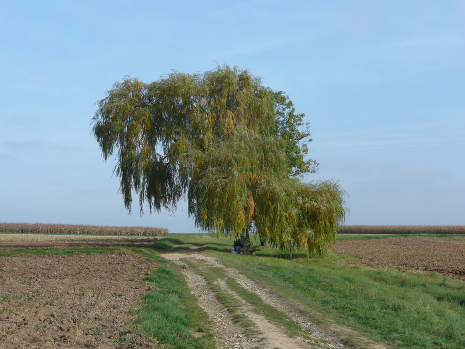
Am Anfang sind es Wald-, Forstwege und Singletrails. Die in den Bildern gezeigten Abzweige sollte man nicht verpassen.
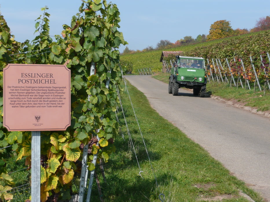
In der Mitte der Tour sind es Feld- und Wirtschaftswege. Am Ende der Tour geht es durch die Weinberge mit schönen Ausblicken. Ich habe ein paar "Sackgassen" erwischt. Diese müssen nicht nachgefahren werden :-).
Further information at
http://www.vvs.de/Tour gallery


Tour map and elevation profile
Minimum height 235 m
Maximum height 515 m
More about the tour author
|
|
MatthiasBy |
Comments

Der Start- und Endpunkt ist die S-Bahn-Haltestelle Böblingen Hulb www.boeblingen.de
Man kann dort mit dem Auto dort parken: Im Industriegebiet Hulb sind die Parkplätze kostenlos.
Im Remstal ist natürlich auch viel zu sehen: www.remstal-route.de/
GPS tracks
Trackpoints-
GPX / Garmin Map Source (gpx) download
-
TCX / Garmin Training Center® (tcx) download
-
CRS / Garmin Training Center® (crs) download
-
Google Earth (kml) download
-
G7ToWin (g7t) download
-
TTQV (trk) download
-
Overlay (ovl) download
-
Fugawi (txt) download
-
Kompass (DAV) Track (tk) download
-
Track data sheet (pdf) download
-
Original file of the author (gpx) download
More about the tour author
|
|
MatthiasBy |
Add to my favorites
Remove from my favorites
Edit tags
Open track
My score
Rate