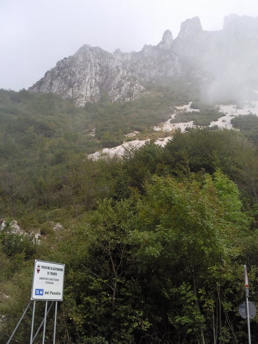
Schöne Tour auf Schotterwegen vom Pasubiopass zum Rifugio Papa und den Schlachtfelderd des ersten Weltkrieges. Vom Rifugio kann man noch einen grob geschotterten Weg durch die Schlachtfelder zum Gipfel fahren.
Die ersten Meter der Auffahrt fährt man wohl meistens im Nebel, der aus der Poebene heraufsteigt.
Tour gallery
Tour map and elevation profile
Minimum height 911 m
Maximum height 2086 m
Comments

GPS tracks
Trackpoints-
GPX / Garmin Map Source (gpx) download
-
TCX / Garmin Training Center® (tcx) download
-
CRS / Garmin Training Center® (crs) download
-
Google Earth (kml) download
-
G7ToWin (g7t) download
-
TTQV (trk) download
-
Overlay (ovl) download
-
Fugawi (txt) download
-
Kompass (DAV) Track (tk) download
-
Track data sheet (pdf) download
-
Original file of the author (gpx) download
Add to my favorites
Remove from my favorites
Edit tags
Open track
My score
Rate


