
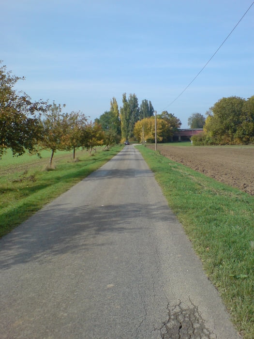

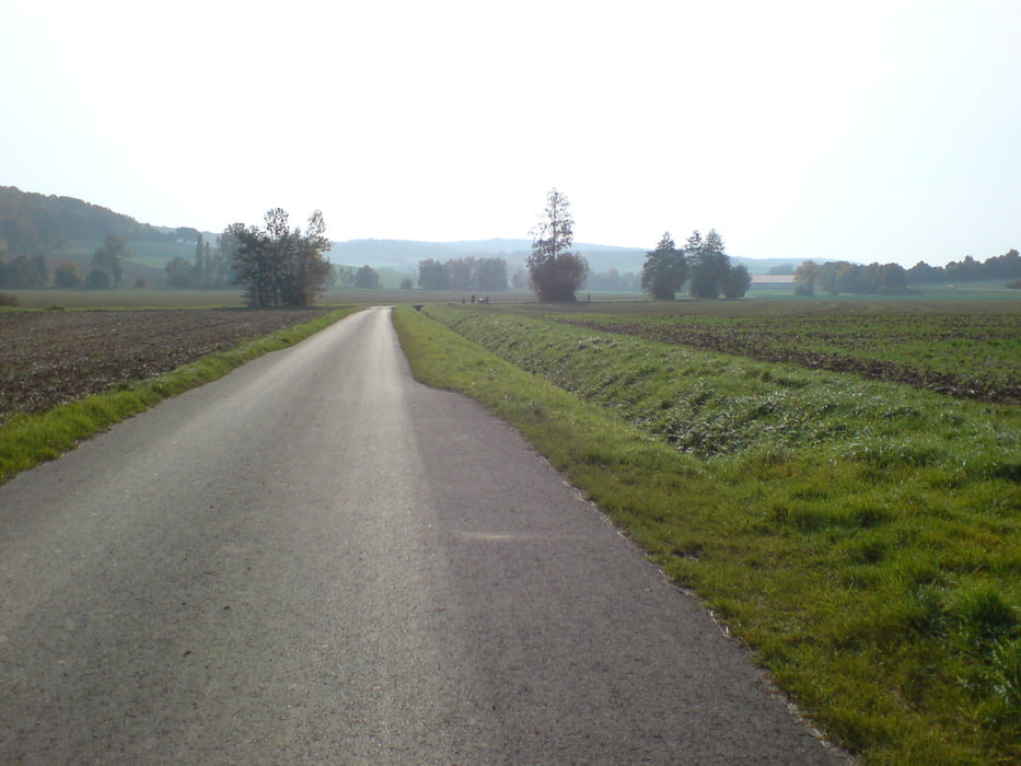
Einfache aber schöne Runde. Nach der Arbeit einfach mal aufs Bike und los. Insbesondere die Optik des Gut Greussenheims bzw. der sog. Gnadenhof überrascht - das vermutet man nicht an dieser Stelle.
Further information at
http://de.wikipedia.org/wiki/H%C3%B6chbergTour gallery


Tour map and elevation profile
Minimum height 229 m
Maximum height 323 m
More about the tour author

|
Lummi-Maus |
Comments

Auf den höchsten Punkt des Hexenbruchs in Höchberg (Schwimmbadseite des Orts). Ganz nach oben wo die Hochhäuser in den Himmel ragen. Dann links von der Albrecht-Dürer-Straße in die Hans-Sachs-Straße einbiegen. Auf dem Wendeplatz kann mann dann das Auto abstellen, sollte man nicht mit dem Rad bereits anfahren. Dann einfach Richtung Wald - alle Wegen führen irgend wie in den Wald. Ab hier Richtung Waldbüttelbrunn.
GPS tracks
Trackpoints-
GPX / Garmin Map Source (gpx) download
-
TCX / Garmin Training Center® (tcx) download
-
CRS / Garmin Training Center® (crs) download
-
Google Earth (kml) download
-
G7ToWin (g7t) download
-
TTQV (trk) download
-
Overlay (ovl) download
-
Fugawi (txt) download
-
Kompass (DAV) Track (tk) download
-
Track data sheet (pdf) download
-
Original file of the author (gpx) download
More about the tour author
|
|
Lummi-Maus |
Add to my favorites
Remove from my favorites
Edit tags
Open track
My score
Rate