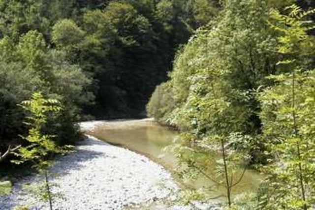
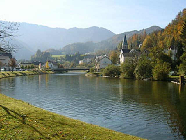
Gemütliche Radtour in herrlicher Landschaft im Nationalpark Kalkalpen. Am "Wendepunkt" kann noch der "Triftsteig" gegangen/geklettert werden. Dazu sind jedoch Bergschuhe bzw. Kletterschuhe und evtl. eine Kletterausrüstung nötig, also für ungeübte nicht zu empfehlen.
Weitere Info´s siehe link
Further information at
http://www.wandern.at/wanderwege/bergsteigen/572301/Der-Triftsteig-durch-die-grosse-Schlucht.htmlTour gallery
Tour map and elevation profile
Minimum height 343 m
Maximum height 542 m
Comments

GPS tracks
Trackpoints-
GPX / Garmin Map Source (gpx) download
-
TCX / Garmin Training Center® (tcx) download
-
CRS / Garmin Training Center® (crs) download
-
Google Earth (kml) download
-
G7ToWin (g7t) download
-
TTQV (trk) download
-
Overlay (ovl) download
-
Fugawi (txt) download
-
Kompass (DAV) Track (tk) download
-
Track data sheet (pdf) download
-
Original file of the author (gpx) download
Add to my favorites
Remove from my favorites
Edit tags
Open track
My score
Rate


