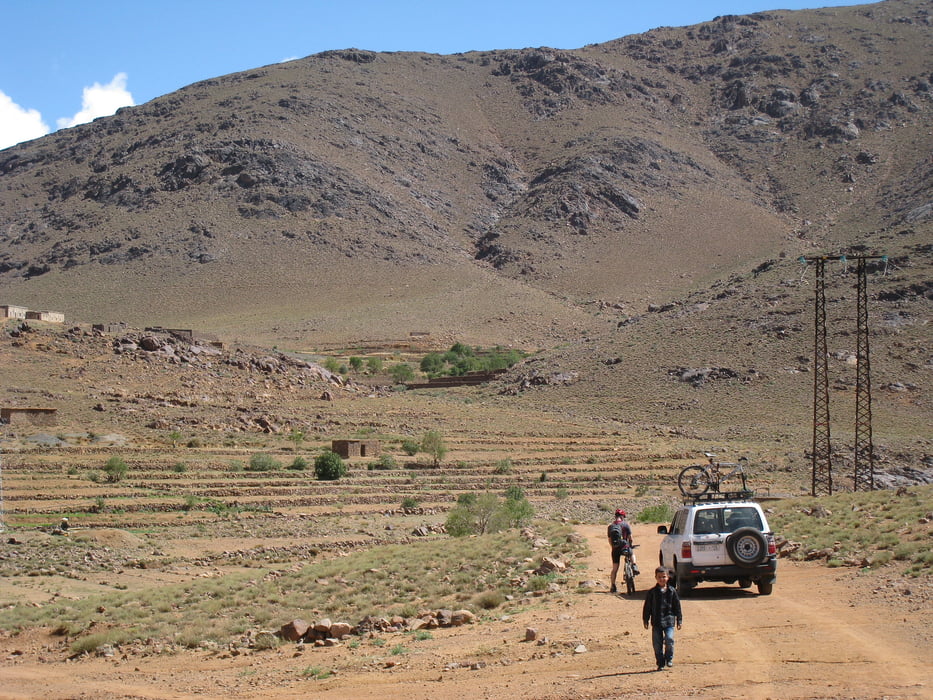
Tour im Antiatlas durch eine wunderbare Bergwelt. Die Landschaft ist unglaublich abwechselungsreich. an manchen ecken lässt grand canyon feeling grüßen. Am Gipfel angekommen gibt es ein nettes cafe
Tour gallery
Tour map and elevation profile
Minimum height 1566 m
Maximum height 2305 m
Comments

GPS tracks
Trackpoints-
GPX / Garmin Map Source (gpx) download
-
TCX / Garmin Training Center® (tcx) download
-
CRS / Garmin Training Center® (crs) download
-
Google Earth (kml) download
-
G7ToWin (g7t) download
-
TTQV (trk) download
-
Overlay (ovl) download
-
Fugawi (txt) download
-
Kompass (DAV) Track (tk) download
-
Track data sheet (pdf) download
-
Original file of the author (gpx) download
Add to my favorites
Remove from my favorites
Edit tags
Open track
My score
Rate


