

Wir fahren in Richtung Isenburg ,durch das schöne Sayntal geht es bis nach Selters.Über Goddert kommen wir an der Klingelwiese ( Im Sommer zum baden und Durst löschen geeignet) vorbei nach Maxsain, von wo die Steigung nach Langenhahn beginnt, zum höchsten Punkt der Tour.Durch Rotenhain, Lochum am Golfplatz Wiedquelle und Seeweiher vorbei,wo wir hinter Schenkelberg linker Hand das Schmanddippe(Bild) von Hartenfels sehen,kommen wir in Herschbach an.Wir nehmen die Richtung Freirachdorf ,Roßbach ,Oberdreis um Steimel zu erreichen. Eine Abfahrt ins Holzbachtal bringt uns nach Seifen. (Einkehrmöglichkeit) Bei Döttesfeld beginnt der letzte Anstieg über Linkenbach zu der L266 die uns locker zum Ziel führt.
Tour gallery

Tour map and elevation profile
Minimum height 137 m
Maximum height 495 m
More about the tour author

|
Die Kette |
Comments

von A3 Ri Kleinmaischeid hinter Ortsschild 1.Str. links
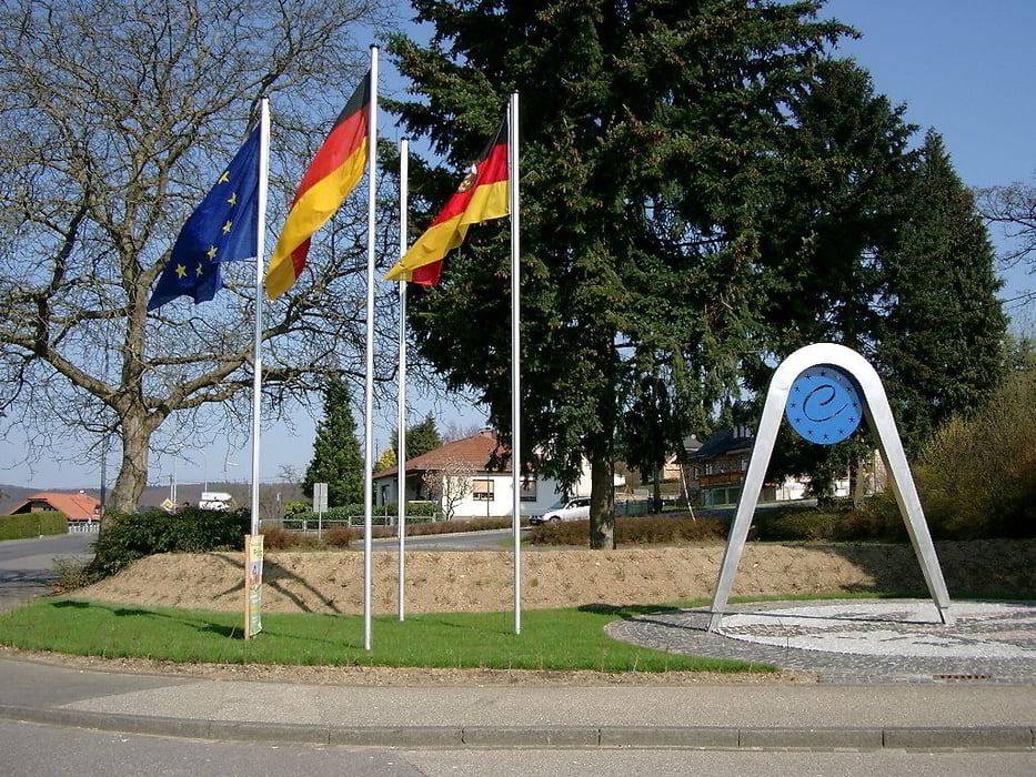
von Bendorf hinter Denkmal am Mittelpunkt Europas rechts
Parkplatz
GPS tracks
Trackpoints-
GPX / Garmin Map Source (gpx) download
-
TCX / Garmin Training Center® (tcx) download
-
CRS / Garmin Training Center® (crs) download
-
Google Earth (kml) download
-
G7ToWin (g7t) download
-
TTQV (trk) download
-
Overlay (ovl) download
-
Fugawi (txt) download
-
Kompass (DAV) Track (tk) download
-
Track data sheet (pdf) download
-
Original file of the author (gpx) download
More about the tour author
|
|
Die Kette |
Add to my favorites
Remove from my favorites
Edit tags
Open track
My score
Rate