Login

Forgotten password?

Cookies have to be accepted!
Your browser's cookie functionality is disabled. Please enable this functionality.

Not a member yet?

Register now
Login

Available for registred users only

Log in to use this feature.

Forgotten password?

Cookies have to be accepted!
Your browser's cookie functionality is disabled. Please enable this functionality.

Not a member yet?

Register now
Filter
Categories
Advanced filters
  • Distance (km)
  • Height
Save filters Reset filter

TrackRank

QRCode

Technical data

Distance68,6 km Height1170 m Way down1225 m Duration00:00 h:m Date18.11.2008
Scores Author Landscape Fun factor Fitness Technique

Statistics

657 Views Scores 150 Downloads Average
Rate
  • Track data sheet
  • Directions
  • Downloads
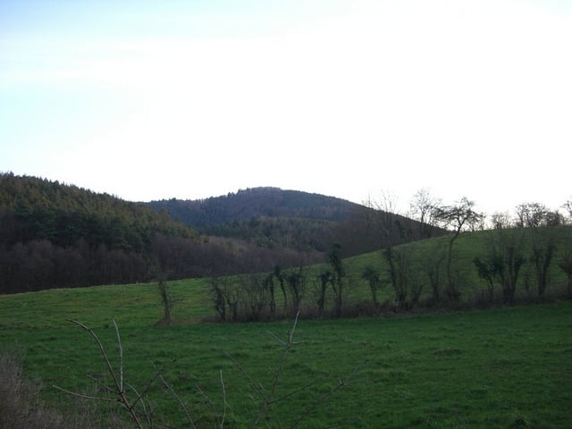
abwechslungsreiche tour durch weinhänge und entlang des eckbaches...viele ehemalige mühlen zu sehen. längere pause am rahnenhof, welcher auf mtb'ler eingerichtet ist. super tour, die ich noch mehrmals fahren werde..

Tour map and elevation profile

  • Open Street Map
  • Google
Minimum height 103 m Maximum height 405 m Detailed view

More about the tour author

Donnersberger
Member since 2006

Send private message

Comments

GPS tracks

Trackpoints
  • GPX / Garmin Map Source (gpx) download
  • TCX / Garmin Training Center® (tcx) download
  • CRS / Garmin Training Center® (crs) download
  • Google Earth (kml) download
  • G7ToWin (g7t) download
  • TTQV (trk) download
  • Overlay (ovl) download
  • Fugawi (txt) download
  • Kompass (DAV) Track (tk) download
  • Track data sheet (pdf) download
  • Original file of the author (gpx) download

More about the tour author

Donnersberger
Member since 2006

Send private message
Share track
Add to my favorites
Remove from my favorites
Edit tags
My score
Rate
Track: Zellertal, Eckbachmühlenwanderweg, Vorderpalz
Type: Mountain bike
Distance: 68,6 km
Evaluated on:
Duration:
Day(s)
Hour(s)
Minute(s)
Score: Landscape Fun factor Fitness Technique