


1. Tag
- vom Bahnhof Hersbruck nach Pommelsbrunn
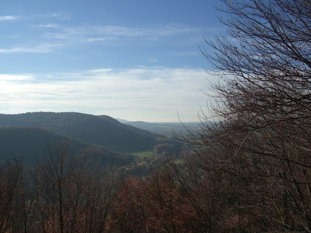
- steiler Anstieg auf den Zankl (sehr schöne Aussicht)
- weiter über Deinsdorf nach Oed
- an Ernhüll vorbei zur Sprungschanze
- auf einem Gradwanderweg nach Neukirchen (gute Übernachtungsmöglichkeit im Land Hotel Neukirchen)
2. Tag
- nach Norden zum Zant-Berg
- weiter über den Ossinger (Einkehrmöglichkeit Ossinger-Hütte)
- hinab nach Königsstein
- weiter über Funkenreuth nach Krottensee (Maximiliansgrotte) (Übernachtungsmöglichkeit im Gasthof zur Linde)
3. Tag
- Richtung Süden nach Hartenstein
- über Großmeinfeld kommt man nach Vorra
- auf der anderen Seite des Tals Anstieg nach Kleedorf
- über ein Waldweg erreicht man Hersbruck und später den Bahnhof, unseren Ausgangspunkt der Wanderung
alle gelaufenen Wege sind in OpenStreetMap verzeichnet
Tour gallery


Tour map and elevation profile
Minimum height 335 m
Maximum height 651 m
More about the tour author
|
|
mini-titan |
Comments

Hersbruck
GPS tracks
Trackpoints-
GPX / Garmin Map Source (gpx) download
-
TCX / Garmin Training Center® (tcx) download
-
CRS / Garmin Training Center® (crs) download
-
Google Earth (kml) download
-
G7ToWin (g7t) download
-
TTQV (trk) download
-
Overlay (ovl) download
-
Fugawi (txt) download
-
Kompass (DAV) Track (tk) download
-
Track data sheet (pdf) download
-
Original file of the author (gpx) download
More about the tour author
|
|
mini-titan |
Add to my favorites
Remove from my favorites
Edit tags
Open track
My score
Rate