


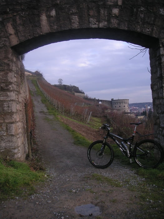
Anspruchsvolle Tour von Eibelstadt flach nach Randersacker - über die Hubertusschlucht zur Frankenwarte (bis zu 30%) - Schlittenbahn nach Höchberg - steil zu Festung - angenehm zur Steinburg - über den Ringpark steil den Gutental hoch zur Keesburg - schwierige Trails am Teufelskeller - neuer spannender Trail am Krönlein - runter nach Randersacker - nach Teilheim - schwierige Auffahrt auf die Theilh. Höhe - Dabug rasante Abfahrt
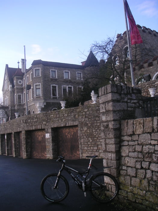
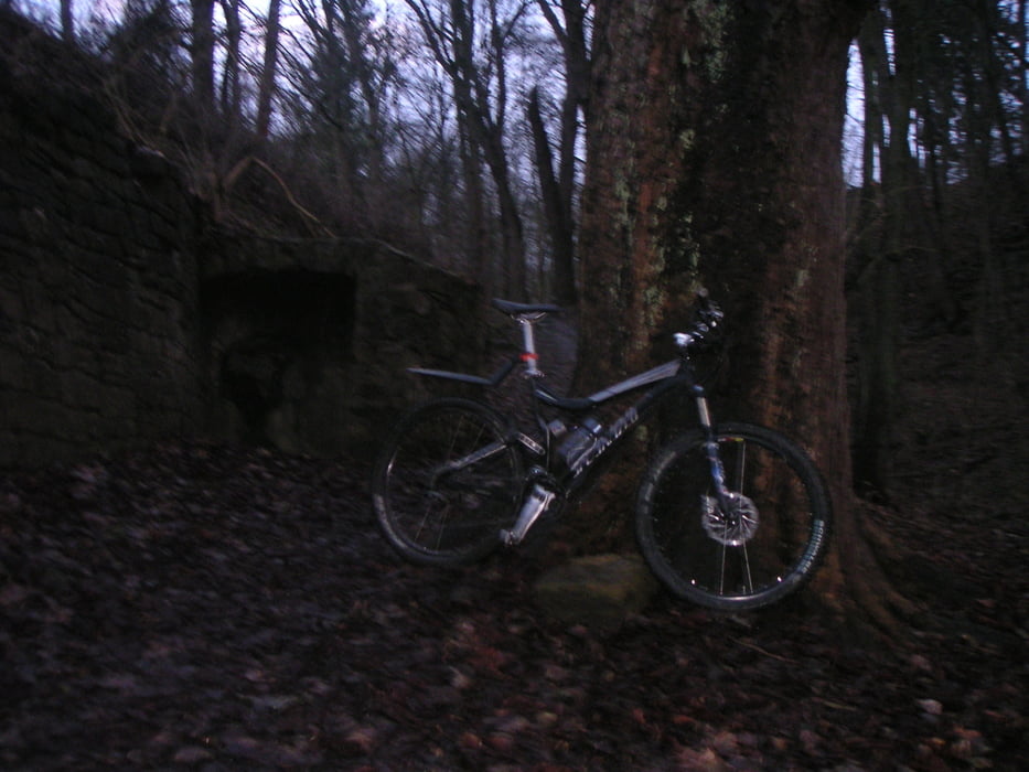
Tour gallery

Tour map and elevation profile
Minimum height 166 m
Maximum height 359 m
More about the tour author
|
|
ramtmann |
Comments

Eibelstadt
GPS tracks
Trackpoints-
GPX / Garmin Map Source (gpx) download
-
TCX / Garmin Training Center® (tcx) download
-
CRS / Garmin Training Center® (crs) download
-
Google Earth (kml) download
-
G7ToWin (g7t) download
-
TTQV (trk) download
-
Overlay (ovl) download
-
Fugawi (txt) download
-
Kompass (DAV) Track (tk) download
-
Track data sheet (pdf) download
-
Original file of the author (gpx) download
More about the tour author
|
|
ramtmann |
Add to my favorites
Remove from my favorites
Edit tags
Open track
My score
Rate