


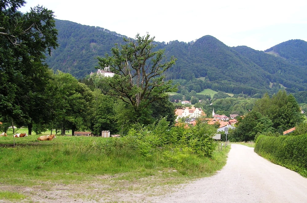
Bergtour von Hohenaschau Talstation aus und zurück über die Kampenwand und die Hochplatte sowie den Staffn-Rundweg, ca. 10 Stunden, konditionell eine Herausforderung als Tagestour.
An zwei Stellen kann man leicht falsch abbiegen, die Abstecher habe ich absichtlich nicht entfernt!
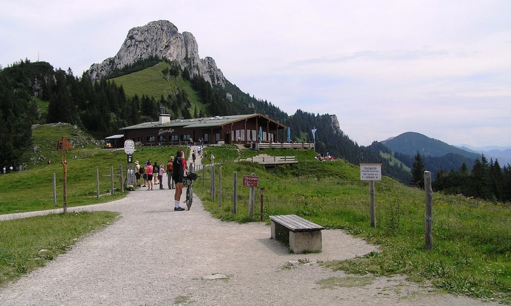
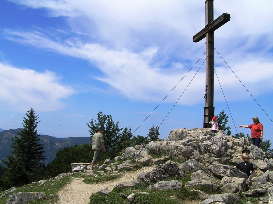
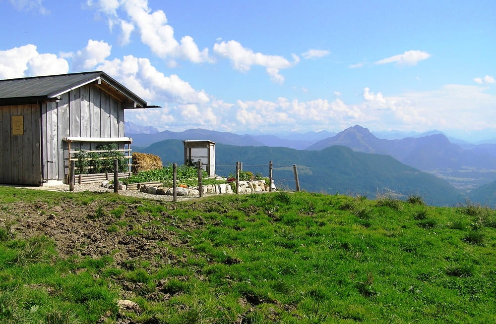
Die wunderschöne Aussicht immer wieder auf den Chiemsee und die umgebenden Berge entschädigt, außerdem macht es ja auch Spaß, sich körperlich ein bisschen zu fordern.
Leider sind die Höhendaten insgesamt jeweils ca.500m zu gering, da ich den GPS-Empfänger nicht richtig kalibriert hatte.
Tour gallery
Tour map and elevation profile
Minimum height 173 m
Maximum height 1188 m
More about the tour author
|
|
schwaing |
Comments

von und bis Hohenaschau am Chiemsee.
GPS tracks
Trackpoints-
GPX / Garmin Map Source (gpx) download
-
TCX / Garmin Training Center® (tcx) download
-
CRS / Garmin Training Center® (crs) download
-
Google Earth (kml) download
-
G7ToWin (g7t) download
-
TTQV (trk) download
-
Overlay (ovl) download
-
Fugawi (txt) download
-
Kompass (DAV) Track (tk) download
-
Track data sheet (pdf) download
-
Original file of the author (gpx) download
More about the tour author
|
|
schwaing |
Add to my favorites
Remove from my favorites
Edit tags
Open track
My score
Rate