


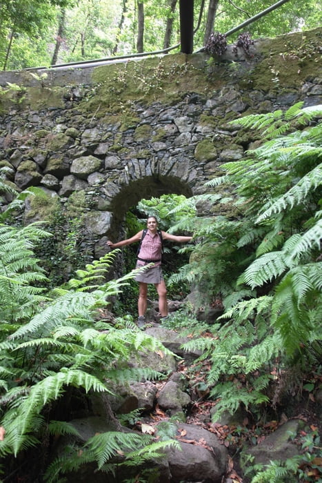
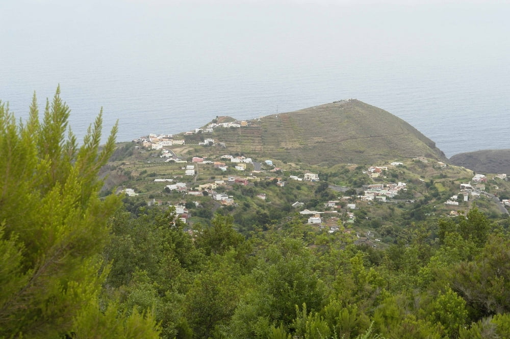
Wanderung auf der Ostseite der Insel. Dieser Track beschreibt die zum Rundweg angewandelte Wanderung aus dem Rother Wanderführer. Im Barranco und auf dem Rückweg im Hohlweg muss man sich auf den Track verlassen. Die Beschreibung im Rother ist nicht sehr gut!
Tour gallery
Tour map and elevation profile
Minimum height 336 m
Maximum height 807 m
More about the tour author

|
Banderolo |
Comments

Auto am Startunkt am Centro de Visitantes abstellen. Wenn geöffnet gibt es dort auch Infomaterial in deutsch.
GPS tracks
Trackpoints-
GPX / Garmin Map Source (gpx) download
-
TCX / Garmin Training Center® (tcx) download
-
CRS / Garmin Training Center® (crs) download
-
Google Earth (kml) download
-
G7ToWin (g7t) download
-
TTQV (trk) download
-
Overlay (ovl) download
-
Fugawi (txt) download
-
Kompass (DAV) Track (tk) download
-
Track data sheet (pdf) download
-
Original file of the author (gpx) download
More about the tour author
|
|
Banderolo |
Add to my favorites
Remove from my favorites
Edit tags
Open track
My score
Rate