Login

Forgotten password?

Cookies have to be accepted!
Your browser's cookie functionality is disabled. Please enable this functionality.

Not a member yet?

Register now
Login

Available for registred users only

Log in to use this feature.

Forgotten password?

Cookies have to be accepted!
Your browser's cookie functionality is disabled. Please enable this functionality.

Not a member yet?

Register now
Filter
Categories
Advanced filters
  • Distance (km)
  • Height
Save filters Reset filter

TrackRank

QRCode

Technical data

Distance5,7 km Height47 m Way down69 m Duration01:23 h:m Date29.12.2008
Scores Author User Landscape Fun factor Fitness Technique

Statistics

1951 Views 3 Scores 133 Downloads 4.33 Average
Rate
  • Track data sheet
  • Directions
  • Downloads

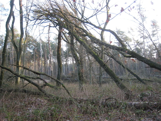
Sehr schöne Runde ausgehend vom Parkplatz St. Johannes am Haardgrenzweg.

Über kleine Wege geht es durch den "Merchenwald" zum See/Teich den Brinksknapp von da aus weiter...................... und wieder zurück zum Parkplatz.

 Mehr auf meiner Seite www.GPX-Touren.de.

Tour gallery

Tour map and elevation profile

  • Open Street Map
  • Google
Minimum height 42 m Maximum height 88 m Detailed view

More about the tour author

KlausD
Member since 2008

Send private message

Comments

GPS tracks

Trackpoints
  • GPX / Garmin Map Source (gpx) download
  • TCX / Garmin Training Center® (tcx) download
  • CRS / Garmin Training Center® (crs) download
  • Google Earth (kml) download
  • G7ToWin (g7t) download
  • TTQV (trk) download
  • Overlay (ovl) download
  • Fugawi (txt) download
  • Kompass (DAV) Track (tk) download
  • Track data sheet (pdf) download
  • Original file of the author (gpx) download

More about the tour author

KlausD
Member since 2008

Send private message
Share track
Add to my favorites
Remove from my favorites
Edit tags
My score
Rate
Track: Haard Runde von St. Johannes aus zum Brinksknapp
Type: Hiking
Distance: 5,7 km
Evaluated on:
Duration:
Day(s)
Hour(s)
Minute(s)
Score: Landscape Fun factor Fitness Technique