Login

Forgotten password?

Cookies have to be accepted!
Your browser's cookie functionality is disabled. Please enable this functionality.

Not a member yet?

Register now
Login

Available for registred users only

Log in to use this feature.

Forgotten password?

Cookies have to be accepted!
Your browser's cookie functionality is disabled. Please enable this functionality.

Not a member yet?

Register now
Filter
Categories
Advanced filters
  • Distance (km)
  • Height
Save filters Reset filter

TrackRank

QRCode

Technical data

Distance12,9 km Height449 m Way down436 m Duration03:50 h:m Date29.01.2006
Scores Author Landscape Fun factor Fitness Technique

Statistics

663 Views Scores 59 Downloads Average
Rate
  • Track data sheet
  • Directions
  • Downloads
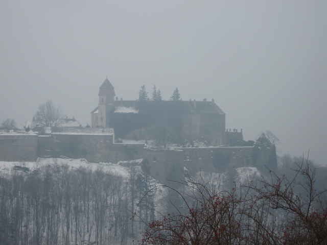
Von Stuben gehts bergauf nach Bernstein. Der Weg verläuft hinter der Burg über den Kienberg dann weiter zum Steinstückl. Leider mußten wir den Rückweg teilweise über die Straße gehen (zu viel Schnee).

Tour gallery

Tour map and elevation profile

  • Open Street Map
  • Google
Minimum height 466 m Maximum height 808 m Detailed view

More about the tour author

gm99
Member since 2006

Send private message

Comments

A2 - Abfahrt Oberwart

GPS tracks

Trackpoints
  • GPX / Garmin Map Source (gpx) download
  • TCX / Garmin Training Center® (tcx) download
  • CRS / Garmin Training Center® (crs) download
  • Google Earth (kml) download
  • G7ToWin (g7t) download
  • TTQV (trk) download
  • Overlay (ovl) download
  • Fugawi (txt) download
  • Kompass (DAV) Track (tk) download
  • Track data sheet (pdf) download
  • Original file of the author (gpx) download

More about the tour author

gm99
Member since 2006

Send private message
Share track
Add to my favorites
Remove from my favorites
Edit tags
My score
Rate
Track: Stuben - Bernstein - Stuben
Type: Hiking
Distance: 12,9 km
Evaluated on:
Duration:
Day(s)
Hour(s)
Minute(s)
Score: Landscape Fun factor Fitness Technique