


Eine Tour zu archäol. und geolog. Stätten
Beginn und Ende am römischen Meilenstein im Ortszentrum von Gilching
über den Steinberg, und Nebel zum römischen Ziegelbrennofen am Rand von Germering,
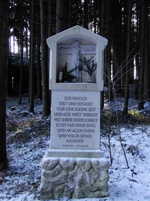
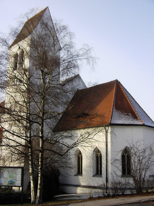
weiter über das Schusterhäusl zur St. Vitus Kirche in Gilching. Hier befindet sich die Arnoldusglocke. Die Glocke wurde gegen Ende des 12. Jh gegossen und ist eine der ätesten Glocken in Bayern.
Informationen über www.zeitreise-gilching.de
Tour gallery


Tour map and elevation profile
Minimum height 491 m
Maximum height 586 m
More about the tour author
|
|
ChristianRoch |
Comments

GPS tracks
Trackpoints-
GPX / Garmin Map Source (gpx) download
-
TCX / Garmin Training Center® (tcx) download
-
CRS / Garmin Training Center® (crs) download
-
Google Earth (kml) download
-
G7ToWin (g7t) download
-
TTQV (trk) download
-
Overlay (ovl) download
-
Fugawi (txt) download
-
Kompass (DAV) Track (tk) download
-
Track data sheet (pdf) download
-
Original file of the author (gpx) download
More about the tour author
|
|
ChristianRoch |
Add to my favorites
Remove from my favorites
Edit tags
Open track
My score
Rate