


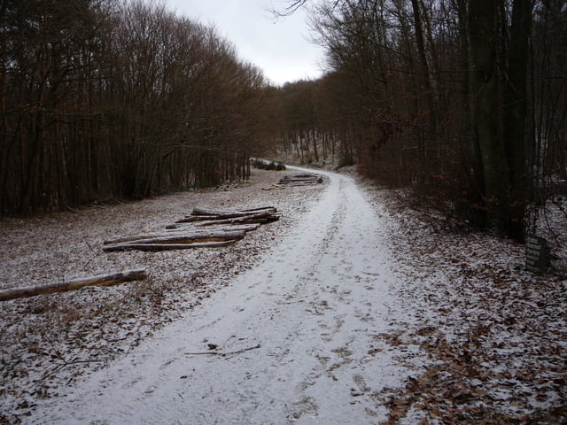
Wir parken im alten Steinbruch unterhalb der Katzley . Von hier geht ein Weg steil bergauf zur Schutzhütte . Heute kann man von hier bis ins Rheintal sehen . Die Wege werden nun etwas flacher und führen uns zum Steinhalskopf . Eine Schneeschauer trübt leider die Aussicht von dem Turm, darum wandern wir weiter in Richtung " Häuschen " . Ca 300 Meter hinter der Schutzhütte biegen wir rechts ab unf folgen den Wegweisern zum Krausberg .
Die Krausberghütte, ( eine grosse Gaststätte ) wird meist am Wochenende vom Eifelverein Dernau bewirtschaftet .www.krausberg-dernau.de
Über schmale Pfade kommt man nach Dernau . Von hier gehen wir über den Ahrtalweg zum Parkplatz zurück . Für die Planung der heutigen Wanderung habe ich ein GPS Track des Eifelvereins genutzt . www.eifelverein.de
Further information at
http://www.dernau.deTour gallery


Tour map and elevation profile
Minimum height 113 m
Maximum height 521 m
More about the tour author
|
|
eifeljupp |
Comments

Von der A 61 fahren wir über die Ausfahrt Bad neuenahr auf die A 573 . Von der Autobahn kommt man auf die B 267, die uns nach Walporzheim bringt . Am Ende vom Ort biegen wir links in de Ahruferstrasse ab . Am Ende der der Strasse liegt der Parkplatz .
GPS tracks
Trackpoints-
GPX / Garmin Map Source (gpx) download
-
TCX / Garmin Training Center® (tcx) download
-
CRS / Garmin Training Center® (crs) download
-
Google Earth (kml) download
-
G7ToWin (g7t) download
-
TTQV (trk) download
-
Overlay (ovl) download
-
Fugawi (txt) download
-
Kompass (DAV) Track (tk) download
-
Track data sheet (pdf) download
-
Original file of the author (gpx) download
More about the tour author
|
|
eifeljupp |
Add to my favorites
Remove from my favorites
Edit tags
Open track
My score
Rate