Login

Forgotten password?

Cookies have to be accepted!
Your browser's cookie functionality is disabled. Please enable this functionality.

Not a member yet?

Register now
Login

Available for registred users only

Log in to use this feature.

Forgotten password?

Cookies have to be accepted!
Your browser's cookie functionality is disabled. Please enable this functionality.

Not a member yet?

Register now
Filter
Categories
Advanced filters
  • Distance (km)
  • Height
Save filters Reset filter

TrackRank

QRCode

Technical data

Distance13,7 km Height1500 m Way down m Duration04:00 h:m Date01.02.2009
Scores Author Landscape Fun factor Fitness Technique

Statistics

2035 Views Scores 180 Downloads Average
Rate
  • Track data sheet
  • Directions
  • Downloads

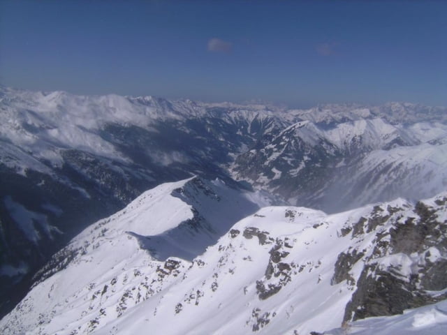
Ein schönes Skiziel zwischen dem Großarltal und dem Beginn des Murtals.

Start ist am großen Besucherparkplatz am Talschluß des Großarltales. An Stockham (letzte Einöde) vorbei und zuerst auf dem Sommerweg, dann auf der (bei uns geräumten) Forststraße zur Kreealm. Dort rechts den Hang rauf, durch lichten Wald, dann durch das Kreekar, zum Schluß steil auf der NO-Seite zum Gipfel.

Die Abfahrt hält sich im großen und ganzen an der Aufstiegsspur, Varianten und Abkürzungen sind möglich.

Beim Talwirt neben dem Parkplatz kam man gut einkehren und einkaufen(Nichtraucherlokal).

Further information at

http://www.grossarltal.info/w_ort_huettschlag.html

Tour gallery

Tour map and elevation profile

  • Open Street Map
  • Google
Minimum height 1046 m Maximum height 2537 m Detailed view

More about the tour author

herzi
Member since 2008

Send private message

Comments

Auf der Tauernautobahn Salzburg - Villach, Ausfahrt Bischofshofen, gerade weiter auf der Schnellstraße bis kurz nach St. Johann. Dort abbiegen, bereits hier "Großarl" ausgeschildert. Das lange Tal bis zum Ende, dort großer (zumindest im Winter) kostenloser Parkplatz

GPS tracks

Trackpoints
  • GPX / Garmin Map Source (gpx) download
  • TCX / Garmin Training Center® (tcx) download
  • CRS / Garmin Training Center® (crs) download
  • Google Earth (kml) download
  • G7ToWin (g7t) download
  • TTQV (trk) download
  • Overlay (ovl) download
  • Fugawi (txt) download
  • Kompass (DAV) Track (tk) download
  • Track data sheet (pdf) download
  • Original file of the author (gpx) download

More about the tour author

herzi
Member since 2008

Send private message
Share track
Add to my favorites
Remove from my favorites
Edit tags
My score
Rate
Track: Schöderhorn (Mureck) im Großarltal
Type: Ski touring
Distance: 13,7 km
Evaluated on:
Duration:
Day(s)
Hour(s)
Minute(s)
Score: Landscape Fun factor Fitness Technique