


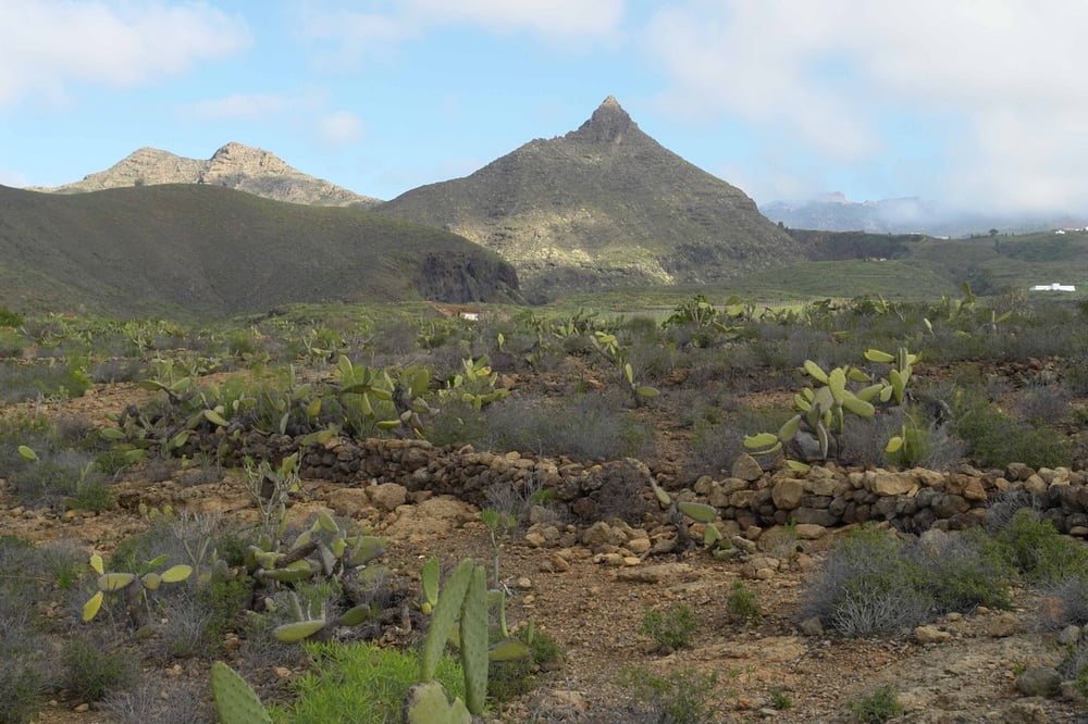
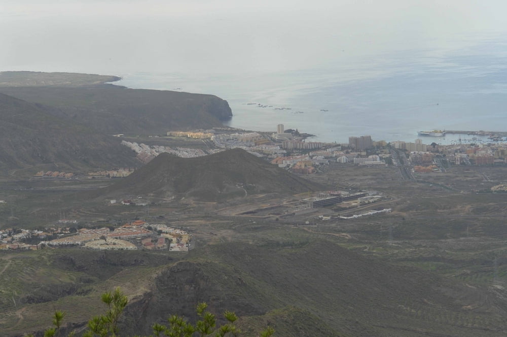
Mittelschwere Tour, die etwas Kondition erfordert. Im Sommer nur am frühen morgen zu empfehlen, da man immer in der prallen Sonne laufen muss. Genügend Wasser mitnehmen! Man wird belohnt durch tolle Ausblicke auf den gesamten touristischen Süden sowie auf den Ifonche und den Teide. Im Winter leider etwas überlaufen.
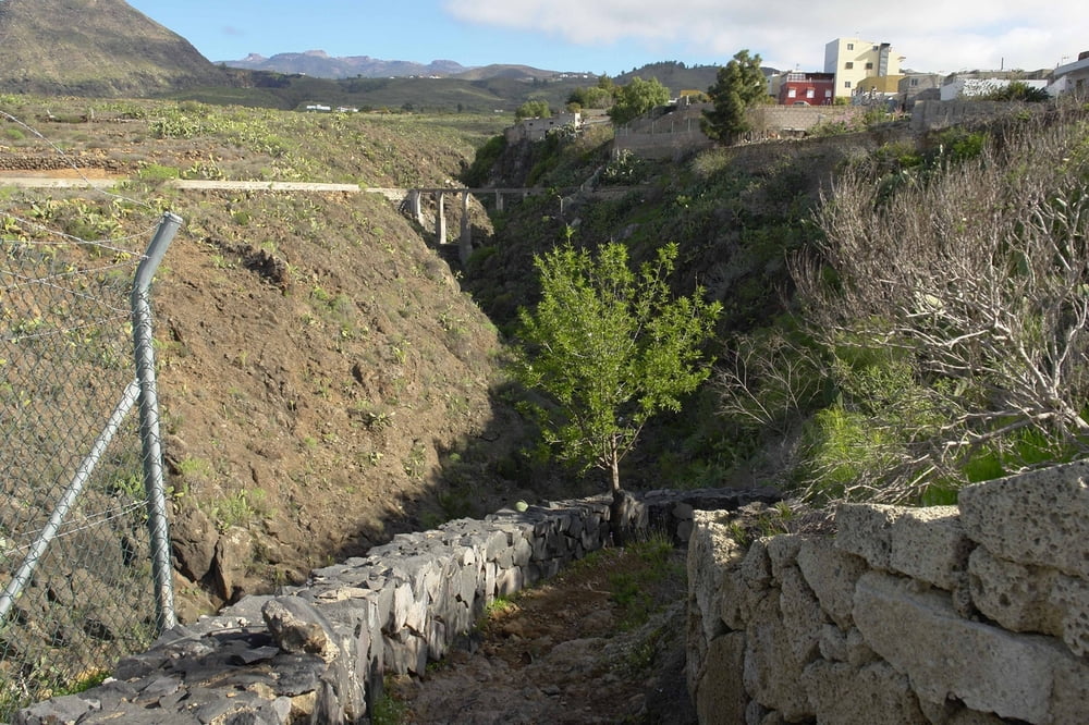
Tour gallery

Tour map and elevation profile
Minimum height 590 m
Maximum height 973 m
More about the tour author

|
Banderolo |
Comments

Von der Autopista TF1 auf die TF 28 bis Camella. Im ersten Kreisel links hoch auf die TF 51 nach Arona (immer Richtung Teide). Im Ort links halten. Kurz vor dem Ortsende linker hand eine Wohnanlage. Dort links in den Camino a Vento bis zum Startpunkt.
GPS tracks
Trackpoints-
GPX / Garmin Map Source (gpx) download
-
TCX / Garmin Training Center® (tcx) download
-
CRS / Garmin Training Center® (crs) download
-
Google Earth (kml) download
-
G7ToWin (g7t) download
-
TTQV (trk) download
-
Overlay (ovl) download
-
Fugawi (txt) download
-
Kompass (DAV) Track (tk) download
-
Track data sheet (pdf) download
-
Original file of the author (gpx) download
More about the tour author
|
|
Banderolo |
Add to my favorites
Remove from my favorites
Edit tags
Open track
My score
Rate