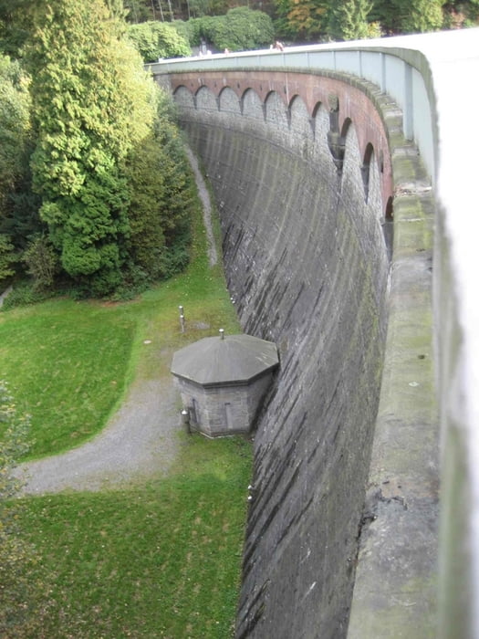
Die Wanderung beginnt am Rastplatz Remscheid der A1 Leverkusen - Dortmund. Die Eschbachtalsperre ist die älteste seiner Art in Deutschland. Man geht am Beginn über die Staumauer an einem Steinkreuz vorbei durch Misch- und Laubwälder und über bergische Flurpfade. Überquert einen alten Grenzwall und durchquert kleine Weiler (Buchholzen).
Die Wanderung empfiehlt sich als Sonntagsnachmittagsspaziergang mit anschließender Bergischer Kaffeetafel.
Tour gallery
Tour map and elevation profile
Minimum height 247 m
Maximum height 342 m
Comments

GPS tracks
Trackpoints-
GPX / Garmin Map Source (gpx) download
-
TCX / Garmin Training Center® (tcx) download
-
CRS / Garmin Training Center® (crs) download
-
Google Earth (kml) download
-
G7ToWin (g7t) download
-
TTQV (trk) download
-
Overlay (ovl) download
-
Fugawi (txt) download
-
Kompass (DAV) Track (tk) download
-
Track data sheet (pdf) download
-
Original file of the author (gpx) download
Add to my favorites
Remove from my favorites
Edit tags
Open track
My score
Rate


