


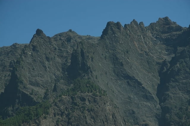
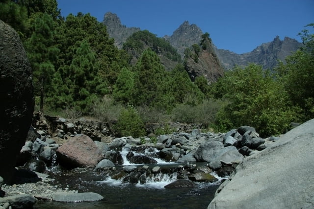
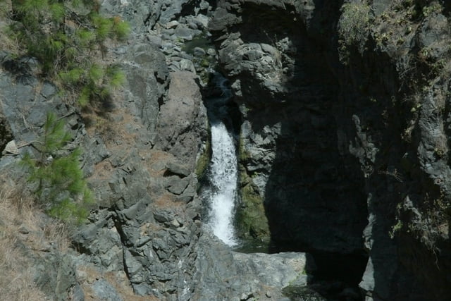
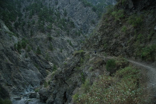
Die Tour im Talkessel des Vulkans zählt zu den schönsten auf La Palma.
Prächtige kanarische Kiefern, bunt blühende Pflanzen, imposante Felsformationen und farbenfrohe Wasserspiele wechseln einander ab.
Die letzten Kilometer besteht der Weg hauptsächlich aus Geröll und man quert häufig das Bachbett.
Die Caldera liegt oft im Nebel.
Die Tour sollte nur bei Schönwetter in Angriff genommen werden.
Der Weg ist ausgezeichnet beschildert.
Um die Wanderung an einem Tag zu bewältigen lässt man sich mit dem Jeep-Taxi vom Parkplatz im Barranco de las Angustias nach Los Brecitos hinauf bringen.
Wanderführer:
Bruckmann Verlag 2007 - "Genusswandern auf La Palma" Tour Nr 20.
Tour gallery
Tour map and elevation profile
Minimum height 211 m
Maximum height 1078 m
More about the tour author

|
walter-stix |
Comments

Mit dem Auto westlich von Los Llanos von der Hauptstraße in Richtung Caldera abbiegen und der Beschilderung "Caldera de Taburiente" bis zum Parkplatz im Barranco de las Angustias.
Dort wird man schon von den Fahrern der Jeep-Taxi's erwartet.
GPS tracks
Trackpoints-
GPX / Garmin Map Source (gpx) download
-
TCX / Garmin Training Center® (tcx) download
-
CRS / Garmin Training Center® (crs) download
-
Google Earth (kml) download
-
G7ToWin (g7t) download
-
TTQV (trk) download
-
Overlay (ovl) download
-
Fugawi (txt) download
-
Kompass (DAV) Track (tk) download
-
Track data sheet (pdf) download
-
Original file of the author (gpx) download
More about the tour author
|
|
walter-stix |
Add to my favorites
Remove from my favorites
Edit tags
Open track
My score
Rate