


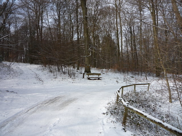
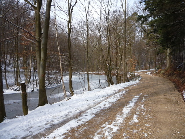
Vom Parkplatz am Glaspavillion wandern wir über Feld und Waldwege in Richtung Todenfeld bis zum " Alten Weiher" . Am Hochbach entlang führt uns der Weg bis zur Waldkapelle . Nach dem Besuch der Kapelle gehen wir über den Pilgerpfad zurück zum Parkplatz .
Further information at
http://www.rheinbach.deTour gallery


Tour map and elevation profile
Minimum height 68 m
Maximum height 342 m
More about the tour author
|
|
eifeljupp |
Comments

Von der A 61 Abfahrt Rheinbach fahren wir über die B 266 in Richtung Rheinbach . Von der Bundesstrasse biegt man nach links ab auf die Koblenzer Strasse und nochmals nach Links auf die Strasse " An der Glasfachschule " . "An den Fichten" angekommen fahren wir nach links bis zu den Parkplätzen .
GPS tracks
Trackpoints-
GPX / Garmin Map Source (gpx) download
-
TCX / Garmin Training Center® (tcx) download
-
CRS / Garmin Training Center® (crs) download
-
Google Earth (kml) download
-
G7ToWin (g7t) download
-
TTQV (trk) download
-
Overlay (ovl) download
-
Fugawi (txt) download
-
Kompass (DAV) Track (tk) download
-
Track data sheet (pdf) download
-
Original file of the author (gpx) download
More about the tour author
|
|
eifeljupp |
Add to my favorites
Remove from my favorites
Edit tags
Open track
My score
Rate