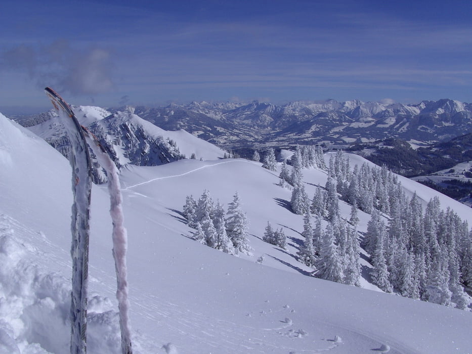
Landschaftlich schöne Tour im Gunzesrieder Tal. Zunächst auf Gunzesrieder Loipe oder Fahrweg taleinwärts. Nach der Vorsäßalpe auf Forstweg, dann steil hoch zur Gatteralpe und weiter in nordwestlicher Richtung zum Gipfel.
Tour gallery
Tour map and elevation profile
Minimum height 868 m
Maximum height 1777 m
Comments

Über Kempten Allgäu und Immensstadt, Blaichach nach Gunzesried, Parkmöglichkeit am Beginn der Mautstraße.
GPS tracks
Trackpoints-
GPX / Garmin Map Source (gpx) download
-
TCX / Garmin Training Center® (tcx) download
-
CRS / Garmin Training Center® (crs) download
-
Google Earth (kml) download
-
G7ToWin (g7t) download
-
TTQV (trk) download
-
Overlay (ovl) download
-
Fugawi (txt) download
-
Kompass (DAV) Track (tk) download
-
Track data sheet (pdf) download
-
Original file of the author (gpx) download
Add to my favorites
Remove from my favorites
Edit tags
Open track
My score
Rate


