
 und Monte Viso")

Der Track führt vom Pian Della Regina etwas weitschweifiger aber landschaftlich schöner über ein Skigebiet unter dem Viso Mozzo am Lago Chiaretto hinauf zum Lago Grande Di Viso an dem ein Rifugio zur Übernachtung einläd (für die Besteigung des Monte Viso) und vor diesem links über den Kamm steil hoch zum Viso Mozzo, der einen einzigartigen Blick über das Po-Tal bis hin zum Monte Rosa und Matterhorn bietet.
Der Rückweg wird entsprechen meiner Tour Lago Superiore gestaltet.
Further information at
http://www.urlaub-piemont.de/Trekking/index.htmlTour gallery


Tour map and elevation profile
Minimum height 1665 m
Maximum height 3033 m
More about the tour author
|
|
wosus |
Comments

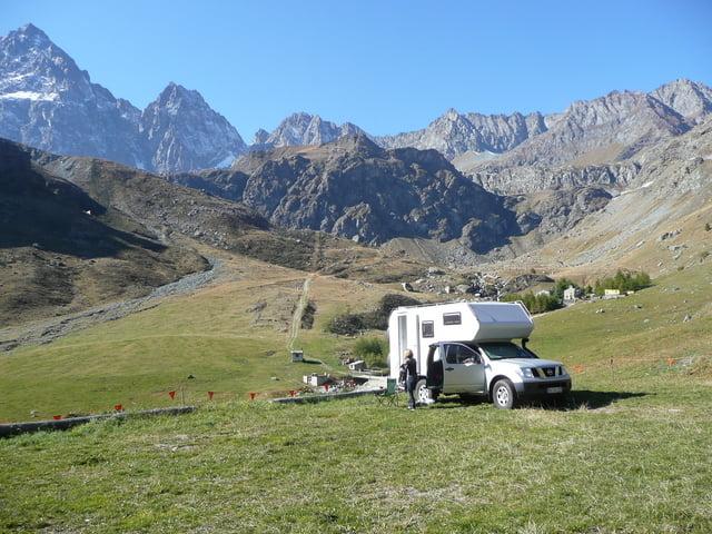
Im Südwesten von Torino das Valle Po hinauf nach Crissolo und die Bergstrasse rechts hoch zur Po-Quelle, Pian del Re
GPS tracks
Trackpoints-
GPX / Garmin Map Source (gpx) download
-
TCX / Garmin Training Center® (tcx) download
-
CRS / Garmin Training Center® (crs) download
-
Google Earth (kml) download
-
G7ToWin (g7t) download
-
TTQV (trk) download
-
Overlay (ovl) download
-
Fugawi (txt) download
-
Kompass (DAV) Track (tk) download
-
Track data sheet (pdf) download
-
Original file of the author (gpx) download
More about the tour author
|
|
wosus |
Add to my favorites
Remove from my favorites
Edit tags
Open track
My score
Rate