Login

Forgotten password?

Cookies have to be accepted!
Your browser's cookie functionality is disabled. Please enable this functionality.

Not a member yet?

Register now
Login

Available for registred users only

Log in to use this feature.

Forgotten password?

Cookies have to be accepted!
Your browser's cookie functionality is disabled. Please enable this functionality.

Not a member yet?

Register now
Filter
Categories
Advanced filters
  • Distance (km)
  • Height
Save filters Reset filter

TrackRank

QRCode

Technical data

Distance105,4 km Height410 m Way down407 m Duration05:30 h:m Date01.03.2009
Scores Author Landscape Fun factor Fitness Technique

Statistics

271 Views Scores 36 Downloads Average
Rate
  • Track data sheet
  • Directions
  • Downloads
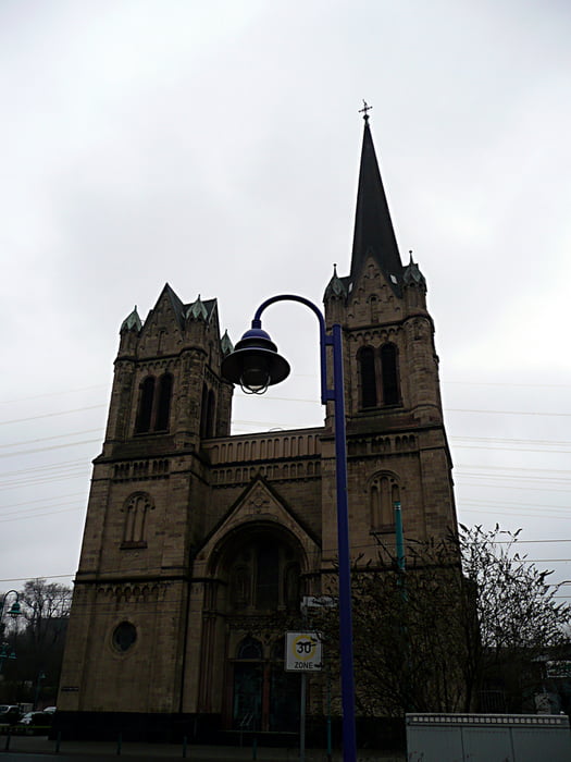
Tour von Gladbeck über den Landschaftspark Nord in Duisburg bis zum Rhein. Hier auf die linke Seite und weiter bis zur Rheinfähre Orsoy. Ab dort wieder rechtsrheinisch über Voerde, Tester Berge und Kirchellener Heide wieder zurück.
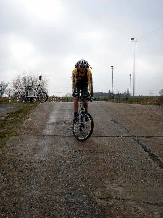
Tour gallery

Tour map and elevation profile

  • Open Street Map
  • Google
Minimum height 21 m Maximum height 72 m Detailed view

More about the tour author

tottreter
Member since 2006

Send private message

Comments

Einstieg überall möglich.

GPS tracks

Trackpoints
  • GPX / Garmin Map Source (gpx) download
  • TCX / Garmin Training Center® (tcx) download
  • CRS / Garmin Training Center® (crs) download
  • Google Earth (kml) download
  • G7ToWin (g7t) download
  • TTQV (trk) download
  • Overlay (ovl) download
  • Fugawi (txt) download
  • Kompass (DAV) Track (tk) download
  • Track data sheet (pdf) download
  • Original file of the author (gpx) download

More about the tour author

tottreter
Member since 2006

Send private message
Share track
Add to my favorites
Remove from my favorites
Edit tags
My score
Rate
Track: Rheintour
Type: Mountain bike
Distance: 105,4 km
Evaluated on:
Duration:
Day(s)
Hour(s)
Minute(s)
Score: Landscape Fun factor Fitness Technique