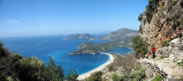
Beginn der Wanderung am Ausgangspunkt des "lykischen Weges" in Hisarönü. Der Weg führt in ca. 300 m
Höhe oberhalb der Lagune des Ölüdeniz zum Bergdorf Faralya. Unterwegs machen wir Rast in einem kleinen
Bergdorf und lauschen den Geschichten der wenigen verbliebenen Bauern. Ankunft in Faralya am späten
Nachmittag. (ca. 12 km Wanderung, reine Laufzeit ca.6 Stunden). Übernachtung in Faralya.Further information at
http://www.karaburun.de/html/lykweggru.htmlTour gallery
Tour map and elevation profile
Minimum height 99999 m
Maximum height -99999 m
Comments

GPS tracks
Trackpoints-
GPX / Garmin Map Source (gpx) download
-
TCX / Garmin Training Center® (tcx) download
-
CRS / Garmin Training Center® (crs) download
-
Google Earth (kml) download
-
G7ToWin (g7t) download
-
TTQV (trk) download
-
Overlay (ovl) download
-
Fugawi (txt) download
-
Kompass (DAV) Track (tk) download
-
Track data sheet (pdf) download
-
Original file of the author (gpx) download
Add to my favorites
Remove from my favorites
Edit tags
Open track
My score
Rate


