Login

Forgotten password?

Cookies have to be accepted!
Your browser's cookie functionality is disabled. Please enable this functionality.

Not a member yet?

Register now
Login

Available for registred users only

Log in to use this feature.

Forgotten password?

Cookies have to be accepted!
Your browser's cookie functionality is disabled. Please enable this functionality.

Not a member yet?

Register now
Filter
Categories
Advanced filters
  • Distance (km)
  • Height
Save filters Reset filter

TrackRank

QRCode

Technical data

Distance31,1 km Height1119 m Way down1069 m Duration02:30 h:m Date19.08.2003
Scores Author Landscape Fun factor Fitness Technique

Statistics

3692 Views 1 Score 1090 Downloads 3.00 Average
Rate
  • Track data sheet
  • Directions
  • Downloads
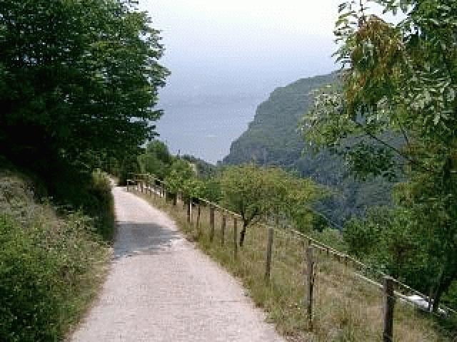
Zum Aufwärmen fahren wir von Limone die Straße hoch nach Tremosine, biegen jedoch nach kurzer Zeit scharf rechts in die "Via Aldo Moro" ein, die uns mit Steigungen bis knapp 20% zum Hotel "Balze" bringt. Von hier fahren wir entlang einer Nebenstraße über Vesio und dann hoch zum Monte Nevese. Kurz nach dem wir den "Nevese" passiert haben biegt rechts ein teils steil abfallender Wanderweg Richtung Pregasio ab. Entlang der Ortschaften Pieve, Mezzema, Secastello, Vesio und Voltino fahren wir über das beschauliche Hochplateau zurück zu unserem Ausganspunkt Limone.

Tour gallery

Tour map and elevation profile

  • Open Street Map
  • Google
Minimum height 66 m Maximum height 742 m Detailed view

More about the tour author

tommy

Comments

on 15.01.2004

Korrektur

Die Straße, die von der Auffahrt nach Tremosine abzweigt, heißt "Via Aldo Moro". Sie ist nach dem in 1987 von den "Roten Brigaden" ermordeten ital. Juristen und Politiker benannt.
Die Tour ist sehr schön, wenn die nicht ganz autofreie Auffahrt nach Tremosine nicht wäre.

GPS tracks

Trackpoints
  • GPX / Garmin Map Source (gpx) download
  • TCX / Garmin Training Center® (tcx) download
  • CRS / Garmin Training Center® (crs) download
  • Google Earth (kml) download
  • G7ToWin (g7t) download
  • TTQV (trk) download
  • Overlay (ovl) download
  • Fugawi (txt) download
  • Kompass (DAV) Track (tk) download
  • Track data sheet (pdf) download

More about the tour author

tommy

Share track
Add to my favorites
Remove from my favorites
Edit tags
My score
Rate
Track: Limone Monte Nevese
Type: Mountain bike
Distance: 31,1 km
Evaluated on:
Duration:
Day(s)
Hour(s)
Minute(s)
Score: Landscape Fun factor Fitness Technique