


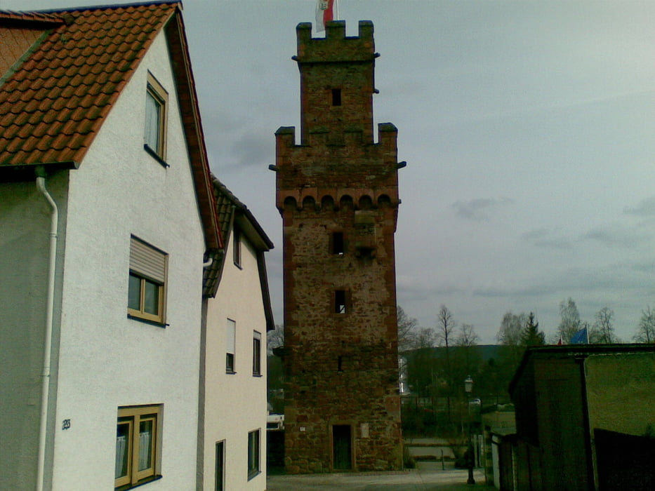
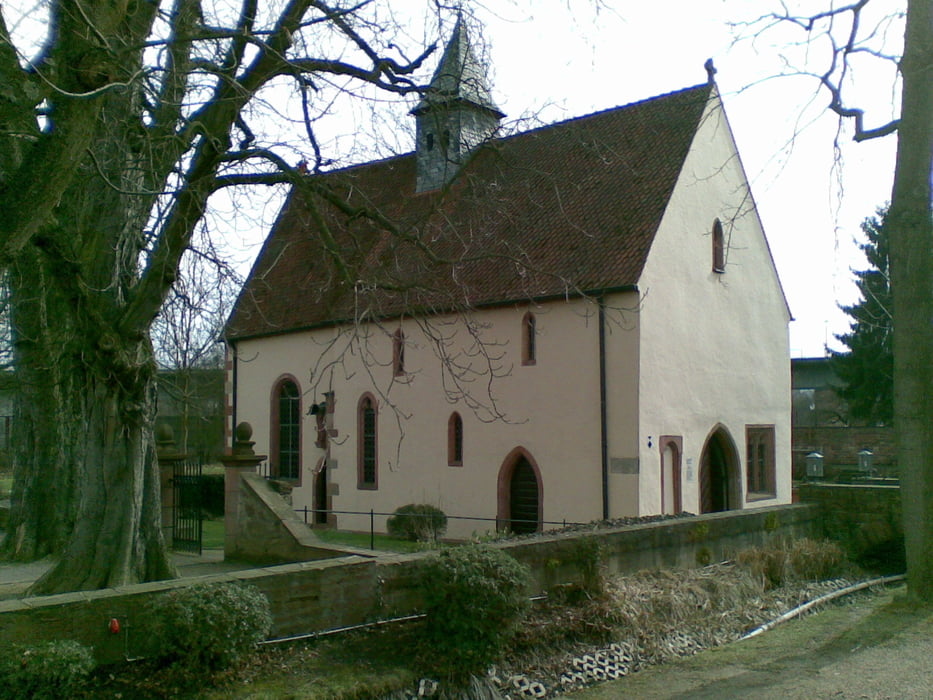
Schöner Rundweg in Obernburg am Main. Parken kann man im kleinen Parkhaus am Kreisel (hier kann man sich am Ende auch mit einem Eis belohnen). Es geht an allen Stadttürmen und sehenswerten Plätzen vorbei. Die Aufzeichnung endet an der St. Anna Kapelle. Von da aus geht es dann wieder Richtung Parkhaus ... und probiert das Eis ... lecker
Geochaching geht auch: GC168CM und GC1MQAQ
Viel Spaß dabei
Further information at
http://www.obernburg.de/Tour gallery
Tour map and elevation profile
Minimum height 118 m
Maximum height 153 m
More about the tour author
|
|
summerchris |
Comments

Oberer Neuer Weg 1
63785 Obernburg
GPS tracks
Trackpoints-
GPX / Garmin Map Source (gpx) download
-
TCX / Garmin Training Center® (tcx) download
-
CRS / Garmin Training Center® (crs) download
-
Google Earth (kml) download
-
G7ToWin (g7t) download
-
TTQV (trk) download
-
Overlay (ovl) download
-
Fugawi (txt) download
-
Kompass (DAV) Track (tk) download
-
Track data sheet (pdf) download
-
Original file of the author (gpx) download
More about the tour author
|
|
summerchris |
Add to my favorites
Remove from my favorites
Edit tags
Open track
My score
Rate