Login

Forgotten password?

Cookies have to be accepted!
Your browser's cookie functionality is disabled. Please enable this functionality.

Not a member yet?

Register now
Login

Available for registred users only

Log in to use this feature.

Forgotten password?

Cookies have to be accepted!
Your browser's cookie functionality is disabled. Please enable this functionality.

Not a member yet?

Register now
Filter
Categories
Advanced filters
  • Distance (km)
  • Height
Save filters Reset filter

TrackRank

QRCode

Technical data

Distance11,7 km Height319 m Way down319 m Duration02:20 h:m Date15.03.2009
Scores Author Landscape Fun factor Fitness Technique

Statistics

1980 Views 1 Score 129 Downloads 1.00 Average
Rate
  • Track data sheet
  • Directions
  • Downloads
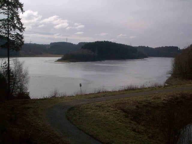
Von Hückeswagen entlang der Wuppetalsperre über die Siedlung Karrenstein bis zur Wiesbach-Vorsperre. Dann weiter entlang des Wiehbachs und rauf nach Vormwald. Nun über Felder entlang den Höfen Niederbeck und Neuenherweg zurück nach Hückeswagen.

Tour gallery

Tour map and elevation profile

  • Open Street Map
  • Google
Minimum height 255 m Maximum height 373 m Detailed view

More about the tour author

msdetroit
Member since 2007

Send private message

Comments

Freelander28 on 02.11.2011

Verlauf so gar nicht mehr möglich

An mehreren Stellen kann man der Route nicht mehr folgen. Die Wege sind teilweise durch Zäune abgesperrt oder so zugewachsen, das man sich ne altnernative suchen muss. Und die Höhenmeter können auch nicht stimmen. Schöne Gegend aber die Tour können wir nicht empfehlen...

GPS tracks

Trackpoints
  • GPX / Garmin Map Source (gpx) download
  • TCX / Garmin Training Center® (tcx) download
  • CRS / Garmin Training Center® (crs) download
  • Google Earth (kml) download
  • G7ToWin (g7t) download
  • TTQV (trk) download
  • Overlay (ovl) download
  • Fugawi (txt) download
  • Kompass (DAV) Track (tk) download
  • Track data sheet (pdf) download
  • Original file of the author (gpx) download

More about the tour author

msdetroit
Member since 2007

Send private message
Share track
Add to my favorites
Remove from my favorites
Edit tags
My score
Rate
Track: Wuppertalsperre
Type: Hiking
Distance: 11,7 km
Evaluated on:
Duration:
Day(s)
Hour(s)
Minute(s)
Score: Landscape Fun factor Fitness Technique