


Wanderer, Spaziergänger und Naturgenießer finden zahlreiche Wanderwege entlang des Sees. Baden im See ist im Freibad Einruhr möglich. Weiterhin bietet Einruhr zahlreiche Einkehrmöglichkiten.
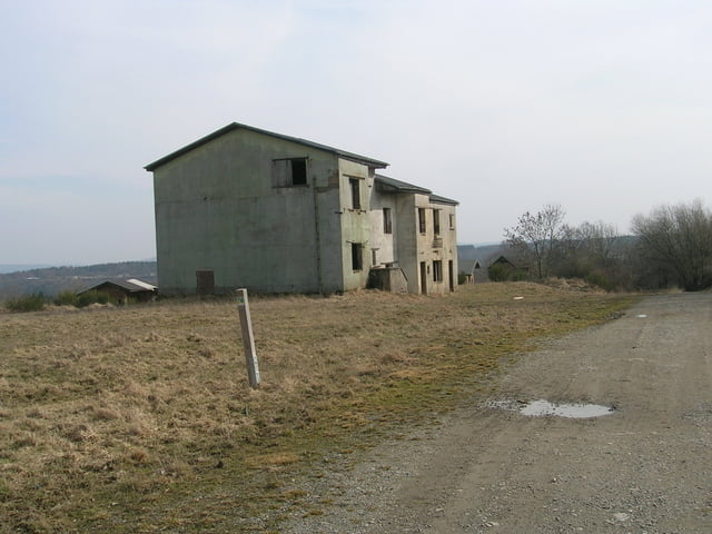
Nach 60 Jahren militärischer Nutzung hat am am 1. Januar 2006 eine neue Epoche für das Gelände im Umfeld der NS-"Ordensburg" Vogelsang begonnen.
Der ehemalige Truppenübungsplatz des belgischen Militärs dient als Teil des Nationalparks Eifel dem Naturschutz und dem Naturerlebnis.
Mit der Rurseeschifffahrt kann die Tour abgekürzt werden.
Eimkehrmöglichkeiten: Kiosk Urftstaumauer und Einruhr
Further information at
http://www.ferienwohnung-dick.com/Tour gallery


Tour map and elevation profile
Minimum height 283 m
Maximum height 529 m
More about the tour author
|
|
Brunodick |
Comments

Einruhr Parkplatz oder Vogelsang Parkplatz
GPS tracks
Trackpoints-
GPX / Garmin Map Source (gpx) download
-
TCX / Garmin Training Center® (tcx) download
-
CRS / Garmin Training Center® (crs) download
-
Google Earth (kml) download
-
G7ToWin (g7t) download
-
TTQV (trk) download
-
Overlay (ovl) download
-
Fugawi (txt) download
-
Kompass (DAV) Track (tk) download
-
Track data sheet (pdf) download
-
Original file of the author (gpx) download
More about the tour author
|
|
Brunodick |
Add to my favorites
Remove from my favorites
Edit tags
Open track
My score
Rate